

Hit-Or-Miss Showers Prevail Today
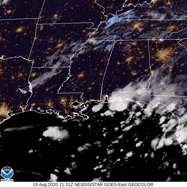
Low level clouds are lingering this morning. These clouds should dissipate as the sun heats up the surface air.
We are currently sandwiched between two upper level ridges, placing us right below an upper level trough. The trough will create some convection this afternoon and keep a chance for rain showers in the forecast. The HRRR keeps most of our area dry, except for a few pop-ups this evening:
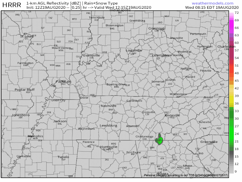
I don’t trust the model. I expect rain showers to follow no clear pattern this afternoon. Anyone’s backyard is fair game for rain at any time.
The good news with the upper level trough is that it’s keeping temperatures lower than average.
Cool Front?
Unfortunately, the cold front has already passed through. “Cold” is used as a relative term. At least, a few degrees cooler than average.
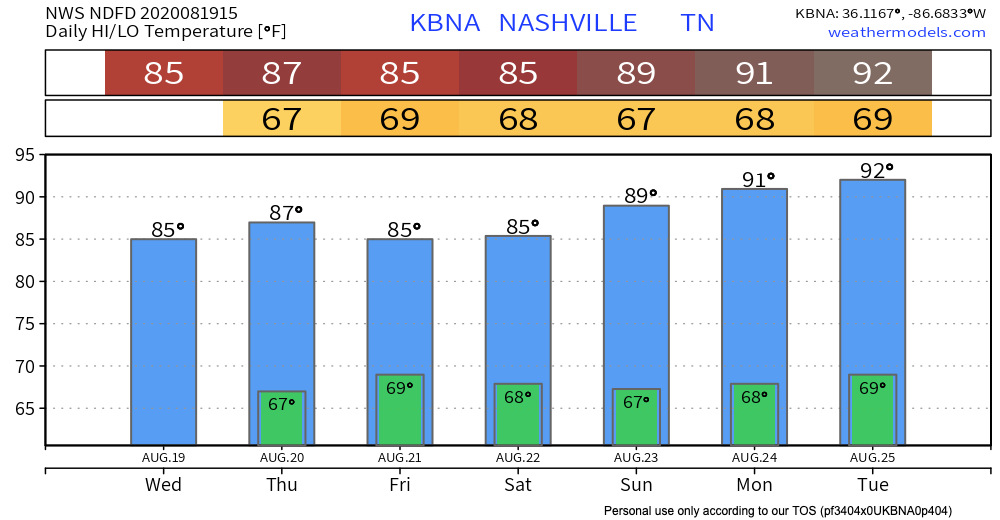
Average high temperature on August 19: 89º
Today’s high temperature: 85º

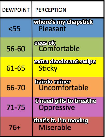
Dew points today will hang out around 67º. Not great, but at least we are in the 60’s. We were stuck in the 70s last week.
More Rain Possible Later This Week, Temperatures Slightly Below Average
Thursday and Friday’s weather will be fairly similar to today.
The trough is in no hurry to move out of Middle Tennessee (can you blame it?), so expect showers and cooler temperatures to stick around for a couple more days.
Look at the HRRR model for tomorrow (below) and compare it to the HRRR model from today (scroll up a bit). Tomorrow’s showers are more widespread than today, especially in Middle Tennessee.
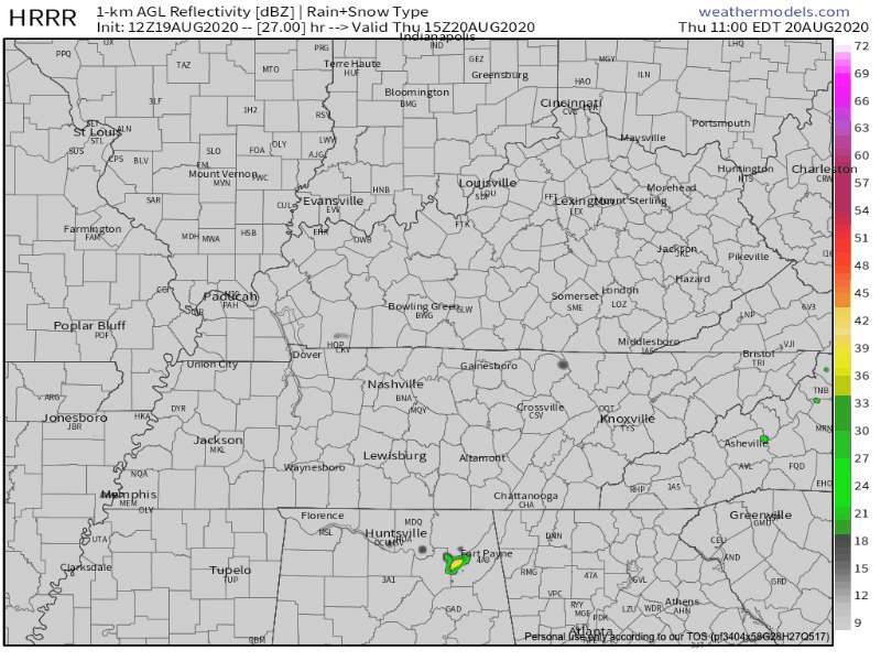
Do I think this is exactly right? No. But looking at the model’s prediction of the volume of showers across the state, I would bank on Thursday being a rainier day than today.
The HRRR model (the kinda most reliable summertime shower model) doesn’t reach all the way to Friday yet. The upper level low will still be hanging over us, so rain chances again will be relatively high.
Rain Chances Lower Sunday
Saturday, the upper level low will move. How fast it moves will determine our rain chances.
If the low continues to slow its northeasterly progression, chances for showers and storms on Saturday will continue to increase. If the low accelerates, the Saturday afternoon rain chances will weaken.
-NWS Area Forecast Discussion
By Sunday, the system should clear our area, making room for a drier day Sunday.
Until then, enjoy the cooler temperatures!
Categories: Forecast Blogs (Legacy)
You must be logged in to post a comment.