
PREPARE FOR LIGHT RAIN LATE THIS AFTERNOON/TONIGHT
Timing: mid/late afternoon into the evening.

Confidence is not great. Not totally sure it’ll make it to us but it probably will. Uncertainty courtesy of the Dry Air Monster who gotta eat.

[M]odels continue to differ on how far into our forecast area precip will make it due to the extremely dry low level atmosphere . . . but as is often the case would not be surprised to see precip make it further to the east [across I-65] as the NAM suggests.
NWS-Nashville Morning Forecast Discussion, 11/28/19
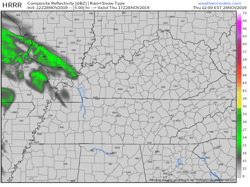
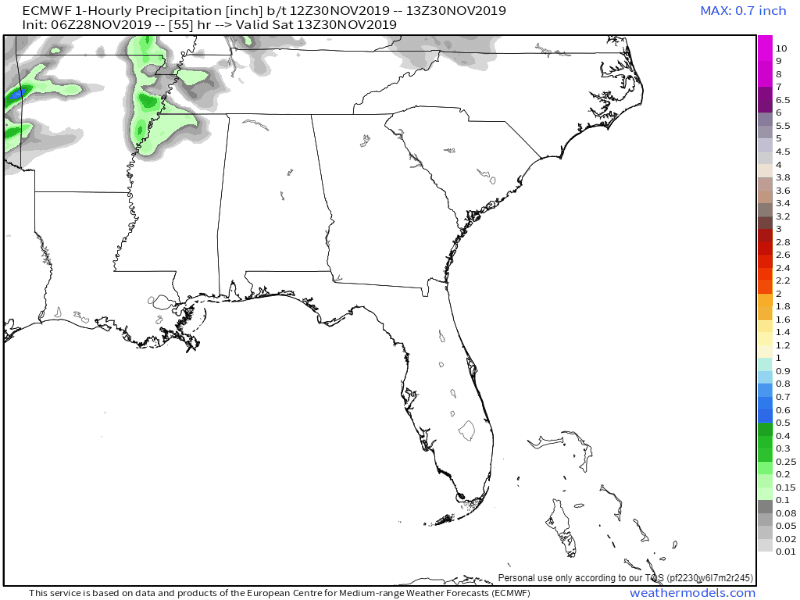
HRRR model thinks less rain.
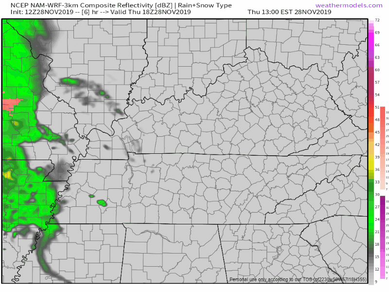
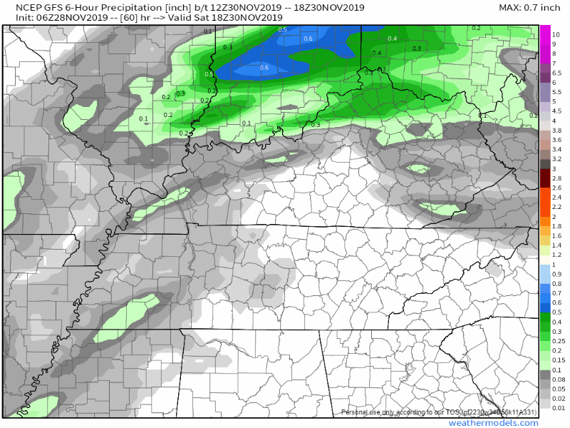
NAM3 model thinks more rain.

My gut says light rain tonight.
No storms. No hazardous weather.
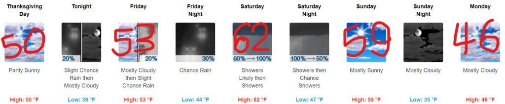
Raining, Dreary Saturday.
[W]idespread showers and a few thunderstorms are expected to develop off to our west then spread across [Middle Tennessee] by Saturday afternoon, warranting near 100 probability of precipitation. All precip looks to exit the area quickly early Sunday morning.
NWS-Nashville, Morning Forecast Discussion, 11/28/19
No severe weather expected. Rain should range around 1″.
Low confidence with exact timing.
May see a stray shower race through Friday but this is mainly a Saturday event.
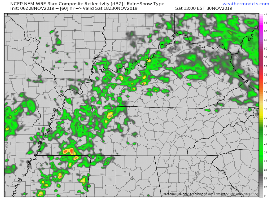
NAM3 model thinks rain will start around lunch Saturday:
Euro model thinks off and on rain during the day Saturday, with the heavier, steadier stuff Saturday night.
GFS model agrees, rain off and on during the day, heaviest Saturday night:
I like what the Euro is thinking, off and on, then heavy at night.
No severe weather ingredients expected but we may see weak, garden variety thunderstorms.
Sunday Night/Monday Snow Event . . . East of Us.
Snowflakes are appearing on extended forecasts for Middle Tennessee. That’s for the Upper Cumberland. We are not the Upper Cumberland.
Although surface temperatures will be near or above freezing, very cold air aloft associated with the upper low could allow for a rain/snow mix in the Upper Cumberland, especially on the Plateau where forecast soundings currently appear quite favorable for some wintry mischief. Considerable uncertainty remains since this is still 3-4 days out but it bears watching for some possible accumulations.
NWS-Nashville, Morning Forecast Discussion, 11/28/19
Below is the Euro model. System is almost completely east of us. Any wintry precip here would melt, but wintry precip is very unlikely.
No excitement needed.
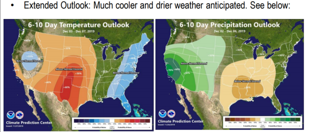
Uneventful Next Week.
Categories: Forecast Blogs (Legacy)
You must be logged in to post a comment.