
Copy and Paste Forecast? Pretty Much.
It’s still kinda humid and dry, though we will have a slight drop in high temps.
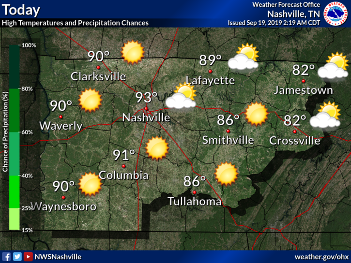
These above-average high temperatures keep pushing us closer to breaking a record:
“Still looks to reach the 90s for much of the area, with Nashville now at the #2 most 90 degree days ever in a year and inching ever closer to the all time record set in 1954.” @NWS-Nashville

Keep the AC and Sunscreen Close By – Heat and Sunshine here to Stay
Honestly I’m beginning to feel like a broken record, because hot and dry conditions continue:
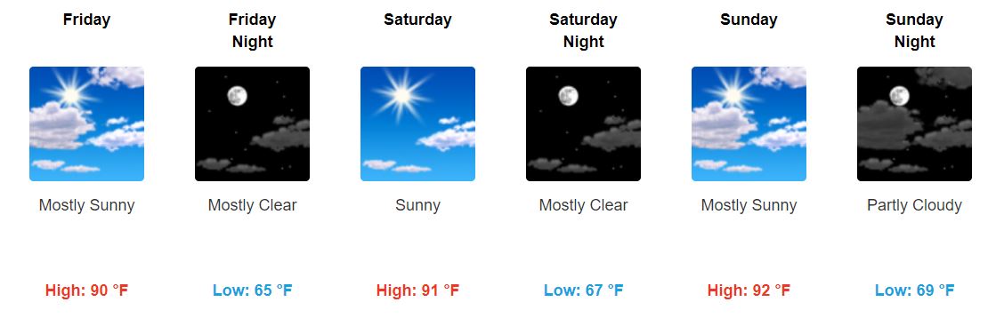
Good news? Dewpoint temps will drop Friday into the upper-50s!
It’ll still be hot, but at least the air won’t be sticky.
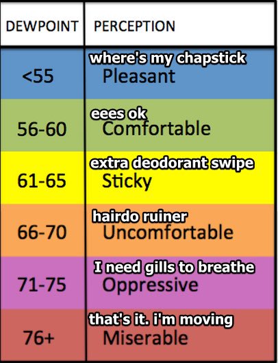
Dewpoints will rise slightly to the lower-60s this weekend.
Those of you going to Pilgrimage should only have to worry about sunscreen and water.
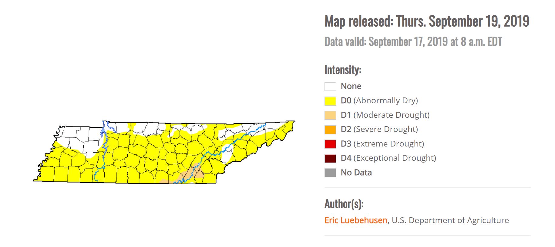
Not Much Relief in Sight; “Abnormally Dry” Conditions Grow
Since last week, “Abnormally Dry” conditions have spread across much of the state, and now includes Nashville.
Unfortunately, I do not have reaffirming news right now:
“With no significant QPF likely for the rest of the month, Nashville and Crossville could both be in the running for the driest September ever.” @NWS-Nashville
[Editor’s Note: The stats…]
Records for driest Septembers since 1871 in Nashville are:
0.13 in 1903
0.19 in 1897
0.21 in 2014
0.28 in 1956
0.35 in 1961
0.45 in 1983
0.47 in 1947
0.62 in 1941So far in September 2019: 0.01″.
— NashSevereWx (@NashSevereWx) September 18, 2019
We need the rain, but so far it’s not looking like we will have much luck for the remainder of the month.

Stay cool, and keep checking back for updates!

Categories: Forecast Blogs (Legacy)
You must be logged in to post a comment.