
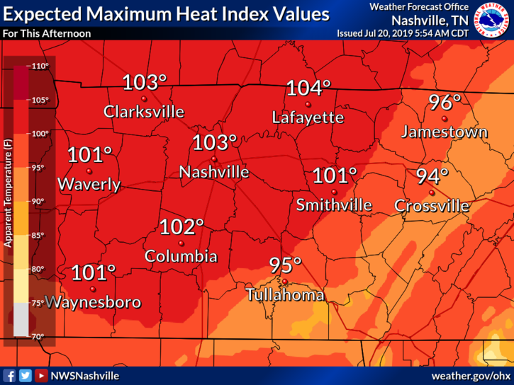
The National Weather Service has issued a Heat Advisory again today for areas west of Nashville. That means the heat index is supposed to be in the range of 103º to 105º. We shouldn’t get that hot here, but it’ll be close. Heat indices will be near 100º today in Nashville.
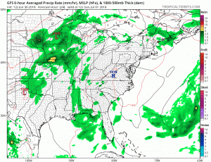
This morning’s run of the HRRR reinforced the thinking from yesterday. High-pressure to our north will make it difficult for showers and storms to form. That said, the chance is not zero. Anything that does form will be few and far between, and less intense than what we have seen over the past couple of days.

As for Sunday, the coverage area of showers and storms will begin to increase, however, temperatures will be a degree to two cooler (as if that makes a difference, right?!). Still in the upper 90º range.
Monday
An influx of Gulf moisture is going to up our rain chances on Monday. Timing and locations are still uncertain with Monday. As the forecast begins to come into focus for the July 4th holiday week, just know that rain is a good possibility. Will it rain at your event? We’ll see.
Temperatures through next week appear to be staying in the 90º range for highs and the 70º range for lows. Hot and humid!
In other news, it’s officially a holiday week!

Check back here for updated forecasts or @NashSevereWx on Twitter. Not on Twitter? We have you covered.

Categories: Forecast Blogs (Legacy)
You must be logged in to post a comment.