
Showers/Storms Possible Thursday
The Storm Prediction Center has placed us within a Marginal risk for Thursday. They think there is a 5% chance of severe storms occurring within 25 miles of you.
Threats are strong winds and heavy rainfall if a storm pops up over you.
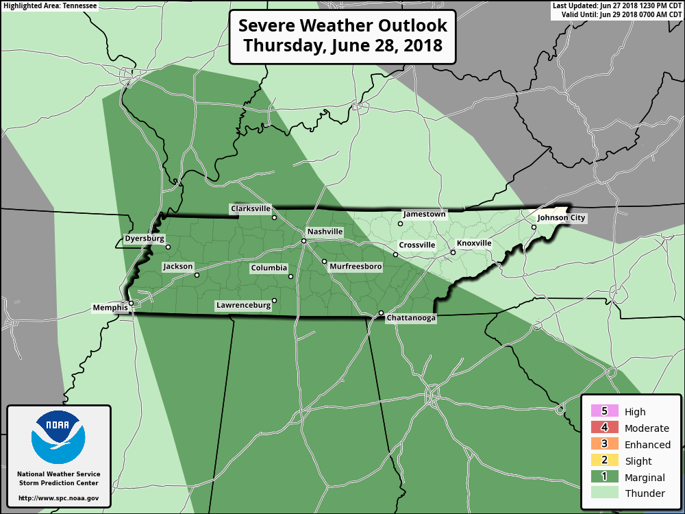
Storms from Wednesday have left our atmosphere unstable, leaving storm fuel for Thursday. Storms could be present in the morning, but storm timing and location is hard to say. Afternoon showers/storms could appear over us.
Keep your radar handy throughout the day.
End of the Week
Outdoor plans this weekend? It’s going to be hot and oppressive.
We return to a normal summer pattern Thursday and Friday. Warm, moist air at the surface lifted through daytime heating, sparking afternoon showers/storms.
Dewpoints and high temps will be on the rise through this weekend. Highs will be in the mid 90s, and dewpoints in the mid 70s. That’s well into the oppressive range.

Check back here for updated forecasts or @NashSevereWx on Twitter. Not on Twitter? We have you covered.

Categories: Forecast Blogs (Legacy)
You must be logged in to post a comment.