
Sun Returns Thursday-Friday

Watch out for icy roads Thursday morning…with temperatures below freezing tonight, patchy freezing fog and black ice are possible.
NWS Nashville Special Weather Statement
Friday, as we’ve been hinting at for much of the week, is the pick day of the forecast. While Thursday does bring the return of the sunshine, high temperatures will struggle to get into the 40s. Friday, a strong surge of warm air will rush in from the south…and with daytime heating, should bump us to 60ºF! Enjoy this, because…
Saturday and Beyond is A Soggy Forecast
GFS Model Loop
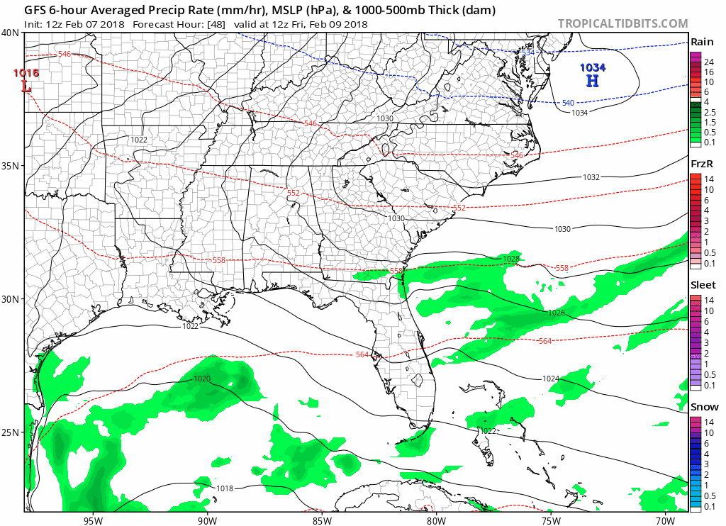
Best chances for rain are all day Saturday and evening/overnight Sunday into Monday. Beyond that, more pieces of energy ride up from the south Wednesday, before another cold front Thursday.
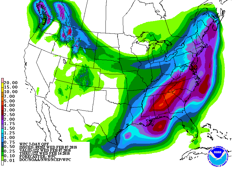
All in all, a very busy forecast rain-wise from Saturday onward. The WPC thinks we could see at least another 1-2″ of rain over the course of the next 7 days.
WPC 7 Day Precipitation Forecast

Categories: Forecast Blogs (Legacy)
You must be logged in to post a comment.