Current Radar
Today – High: 36°
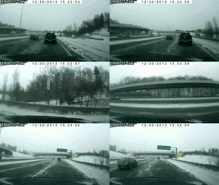
SNOW DAY!!! Many of us saw Sleet, Freezing Rain, and Snow today. We got lots of great reports. Thank You!
All the snow has pushed out of our area and is now covering the Smokies. The HRRR model shows it push further east.

Our temps are very slowly climbing above freezing. We’ll top out at 36°, but only briefly. Melting may not completely occur, so after the sun goes down…be careful.
We will fall below 32º at some point tonight. When that happens black ice can occur.

Thursday — A Cold Rain — Waking Up: 29° High: 40°
A trough will move in our direction on Thursday while a surface low over Louisiana moves through Mississippi into our area late on Thursday. It will keep us cold on Thursday with temperatures below normal near the low 40s.
Right now it looks like we will see a batch of rain move in by lunchtime on Thursday.
The rain will steadily increase through the afternoon hours. We could even hear a few rumbles of thunder. The Storm Prediction Center has us included in a general thunderstorm outlook for Thursday.
The severe threat will be well off to our southwest in Louisiana and SW Mississippi. We can expect heavy rainfall at times.
The rain will last late afternoon into the evening hours. Temperatures will begin to drop below the freezing mark once the sun sets.
Friday – Rain Changing to Snow? – Waking Up: 36° High: 38°
A strong low pressure system will have a cold rain on one side and snow — maybe even a lot of snow — on the other side.
The current expected track of the low puts us on the cold/snow side. Our high temperature would be achieved very early in the morning, then, once the winds shift and start blowing from the N and NE, temps crash below freezing and snow comes on in.
NAM4 Model
This model has had a good week. By 9 AM, rain changes to snow as freezing air wraps around the NW side of the low:
Snow continues to stream in, wrapped around the NW side of the low. This would be a 2″ or 3″ event:
GFS Model
Same setup — a low moving NE passes to our south, temps crash, and “back end” precip wrapping around the parent low changes to snow Friday morning.
This model curiously wants to put more snow in West TN and on the plateau than we get. We would only get a few inches in this scenario.
Other Models
The “illustration” is the same. All models give us rain changing to snow. GGEM delivers 4″. NAM12 model says 6″+. Then there’s the Euro, which sets up the deformation band almost on top of us, and snows a foot. No, I don’t think we are getting a foot of snow, that total is an outlier and should be discounted, but if that deformation band sets up on or near us, it will be the most snow we’ve seen in years. 4″ plus, easy.
Qualifiers
I am not freaking out about this. Not yet, anyway.
For starters, we are still two days away, and the models have been painting that heavy area of snow all over the place. Prior runs had it in Kentucky, West TN, E KY, it’s just our turn to get the Euro “clown map” of huge snowfall. Don’t take the bait. Be smart — do you really think it’ll snow 12″ here? If you do, let’s see it on multiple model runs in multiple models. Later runs surely will refine the forecast. We will update this forecast again tonight and twice tomorrow.
Second, we’re going to get a lot of rain Thursday night and Friday morning before the changeover. Falling snowflakes will encounter water, inhibiting snow accumulation. Also, because the ground will have been above freezing for several hours, we expect a lot of melting as the event starts. Bridges, overpasses, and areas at elevation will freeze/accumulate first, but it may take a while for it to “stick.”
Third, I don’t think we’ll go straight from rain to snow. We may see a brief period of sleet before it becomes snow, but the model counts that as snow. It isn’t. Also, don’t fixate on the snow ETA in the morning…it may be the afternoon.
Finally, I never feel good about a snow forecast when we’re depending on the “back end” part of a departing system to get us cold enough for snow. Many times, the cold temps arrive a few hours later than forecast, by the time they arrive most (or all) the precip has ended. This is a familiar refrain in snow busts here, and I refuse to get tricked by it.
More on this tonight.
This website supplements @NashSevereWx on Twitter, which you can find here.
Categories: Forecast Blogs (Legacy)


You must be logged in to post a comment.