Current Radar

Any strong storms today/this evening should slide south of us, in the dark-green shaded area below:
Technically, Nashville falls into the “general” thunderstorm category. But, seeing a strong/severe storm or two is not out of the question later today. However, most of the activity will be non-severe.
The only categorical threat that is near our area is that of damaging thunderstorm winds greater than 58 mph within 25 mile of us. Again, technically, we are not included in this risk area. But, we could see a few storms will very strong winds throughout the day, so just keep this in mind.
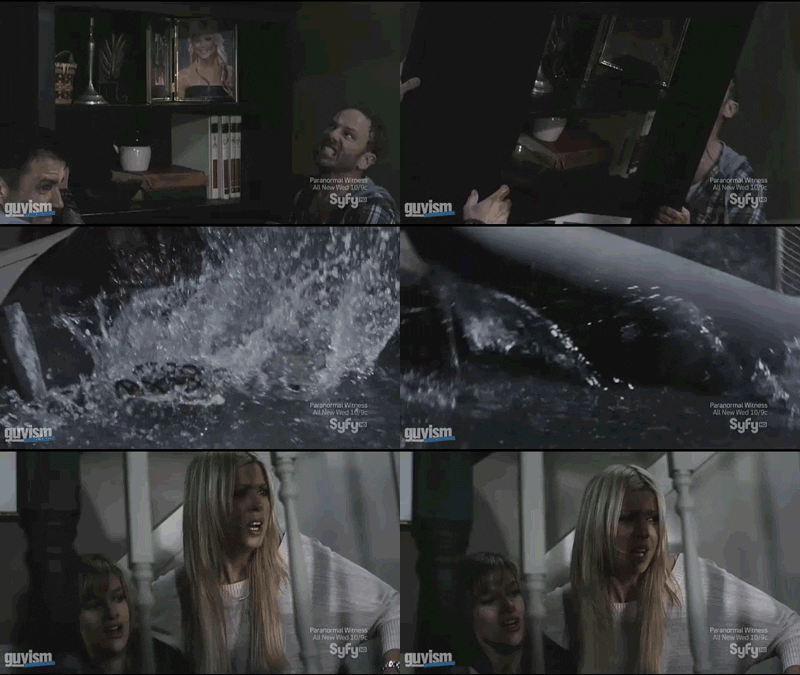
We can’t rule out a few flying sharks, either.
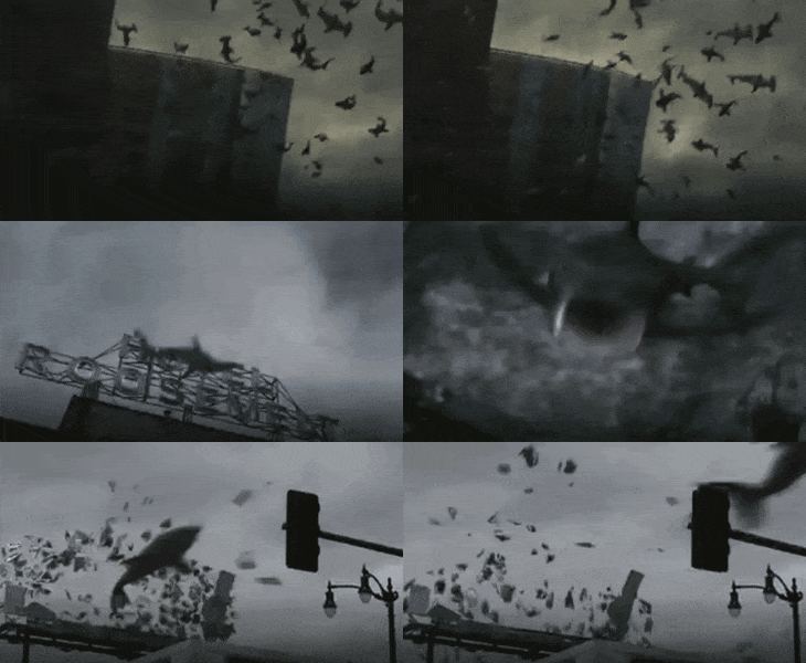
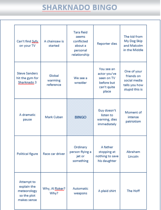
THIS EVENING – 81° by 7 PM. ALSO: SHARKNADO 3!

Expect scattered showers and storms to still be around by this evening.
Models agree that a large wave of rain/storms will arrive later this evening/early tonight:
If you enjoy the sounds of rain as you fall asleep, tonight will be your kind of night.
THURSDAY – Rain Chances Continue – Wake Up: 72º, High 86°
Depending on which model you ask, rain from tonight may or may not last until the morning.
Either way, I think some showers will still be in the vicinity, and it’ll be a cloudy start to the day.
We should dry off during the day, with a slight chance of scattered showers/weak storms during the afternoon and into the evening:
Highs will be even cooler than today, thanks to the rain and cloud cover.
FRIDAY – Warming Back Up, Showers Not Out of the Question – Wake Up: 71º, High: 90º
With surface high pressure building back in to the area by Friday, better rain chances look to be to our west:
Highs will be back to the 90ºs, just in time for the weekend.
Extended: Rain Chances Down, Temperatures Up
This website supplements @NashSevereWx on Twitter, which you can find here.
Categories: Forecast Blogs (Legacy)
