
Current Radar
Today – Humidity, Rain & Storm Chances Return – High 87°
Showers and maybe a few storms may swing through this afternoon. The HRRR model sure thinks so:

I chose this wide view because it shows this week’s “source” of rain/storm activity: the northwest.
A few of today’s storms could be strong, or even marginally severe.
The Storm Prediction Center puts the probability of a hail or damaging wind event within 25 miles of us at 5%. We are excluded from their tornado outlook.

Tonight, another wave of upper level energy will arrive, delivering more rain and storm chances.
Tuesday – More Waves, More Rain Chances – High 88°
This week we expect a series of shortwaves, or impulses, or whatever you want to call them, ripple through the atmosphere, setting off rain and storm chances. You want to know when, where, and how much, right?

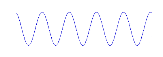
Pinpointing when/were/size is almost impossible: the variance in each model is wide. NWS-Nashville wrote this morning that “the timing and strength of these upper-level impulses will deviate from day to day.” It’s nothing like the predictable, repetitive wave image above.

With temps and dew points climbing, rain is a good bet at some point Tuesday, probably in the afternoon or early evening. I could post model data here, but the variance is so wide that it’s not worth your time.
Wednesday – Better Rain Chance – High 86°
The best chance for rain this week is Wednesday night into Thursday. However, models are showing rain mid-day as well.
Just be prepared for rain and maybe a thunderstorm or two Wednesday.

Mid-Week: Wet & Stormy Pattern Continues

This website supplements @NashSevereWx on Twitter, which you can find here.
Categories: Forecast Blogs (Legacy)