
Current Temps and Radar

Wednesday – Morning Sun, then Mostly Cloudy – Wake Up 31°, Noon 49°, High 55°
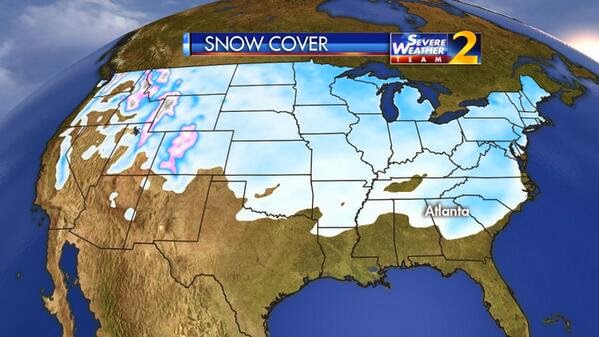
We will be watching the approach of this clipper system:
As this bright, fast moving snow band approaches Middle Tennessee late Wednesday night, the NAM4 model thinks it’ll start to erode, undoubtedly thanks to SNOWDOME:
Sticking with the NAM4 model, when it arrives around midnight, it’ll be a decaying mess of rain, maybe some sleet, and a little snow:
It’s like the old Asteroid arcade game. Blasting the snow.

Don’t fixate on the timing of this. The NAM4 model may be a little too fast, meaning the precip will arrive later than shown above. Also note: pinning all expectation of accuracy on the NAM4 alone is pretty dumb.
But, none of the weather models are real excited about our accumulation potential. NWS-Nashville commented today that 2/10″ is most likely. The snow band is narrow, fast moving, and decaying, and well, I’ll say it again:

While we are here, let’s revisit other Snowdome highlights during this streak of 1,455 days of no snow > 1″:
Remember this from last year? Snowdome likes jalapenos.
This was February 12, 2014. Snow went south of us. Because Snowdome:

That was fun.

From last month (January 15):

Sigh. We think the no snow > 1″ streak will live Thursday.

Still hoping for a snow day? Don’t abandon all hope — temps are only expected to reach 35° Thursday (no rapid melting of the 1/5″), and at least all the models are showing some post-freezing-line precip. There is hope. Let’s also remember if snow forecasting in Middle TN was a telephone, you’d still be dialing one of these today:

So, we wait.

I’M SO….SCARED
Anyway, here is the rest of the week:
More info can be found on Twitter @NashSevereWx
Categories: Forecast Blogs (Legacy)