Current Temps and Radar
Happy Groundhog Day! I’m Brendan Schaper (Editor’s Note: Alert! Intern Applicant Week has begun!) with Nashville Severe Weather, and we’re talking much colder weather today. However, Punxsutawney Phil could have the news you’ve all been waiting for…
Today’s Quick-look Forecast – High of 35°
A few snow flurries are falling already but will not hang around long, quickly dissipating east of I-65. Not much in the way of accumulation here, but still use caution on the roads for the rest of the AM commute.
Bundle up! Winds 15 mph, gusting to 25+ mph at times through 10AM will dip wind chills into the high teens-low 20s. These winds become less of a factor as the morning and early afternoon progresses.
Attention turns to the temperatures slowly climbing into the afternoon hours, topping out around 35°. Clouds could hang around east of I-65 and on the plateau for a good portion of the day. Even with any sun that peeks out later, it looks like a day for the winter coat.
Lows in Nashville tonight will hover around 24° with a north wind, becoming calm.

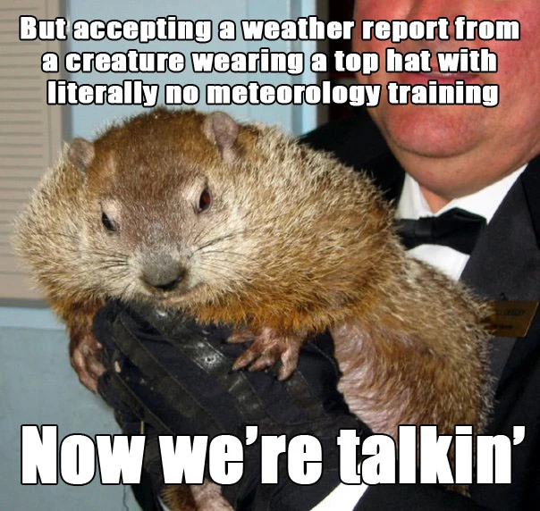
At 6:25 AM CT, Punxsutawney Phil came out of his burrow to proclaim…6 more weeks of winter! If you’re a lover of snow and the cold, this is good news. If not, hang on for a few more weeks!
Tuesday – High of 47°

Southerly winds tend to bring in these more pleasant temperatures, and this will be the case for Tuesday afternoon. NWS-Nashville decided this morning to go a few degrees above typical guidance, since sunshine will be in abundance.
Winds 5-10 mph turn out of the south-southwest during the day, becoming south by the evening.
Expect a low of 31° Tuesday night. With the slight breeze out of the south at 5 mph, wind chills may drop into the upper 20s.
Wednesday – High of 54°
A chilly start to the day on Wednesday will lead to a welcomed warmup into the low-mid 50s! Shorts weather? Not quite. But you may be able to trade the heavy winter coat in for something a little less cozy.
Winds will be light, 5-10 mph through the day. They change from south (S) to north (N) during the afternoon and evening as another system lurks to the northwest. As the wind direction changes, so does the speed. A north wind at 10-15 mph with gusts near 20 mph will accompany the cooler temperatures Wednesday night.
Temperatures fall back into the upper 30s by 10PM, with lows Thursday morning in the upper 20s.
*Still in question is a shot at some snow late Wednesday night into Thursday, but models are still a bit inconclusive on if, when, where, and how much. Later discussions should be able to better pin this feature down.*

Snow bunnies, keep an eye on Thursday morning. Otherwise, it’s see-saw temperatures with some sunshine in between. Enjoy your Monday!
-Brendan Schaper
You can follow Nashville Severe Weather on Twitter @NashSevereWx
Categories: Forecast Blogs (Legacy)


You must be logged in to post a comment.