
Current Temps and Radar

Click the above box for a full screen radar. Works on all browsers and platforms.
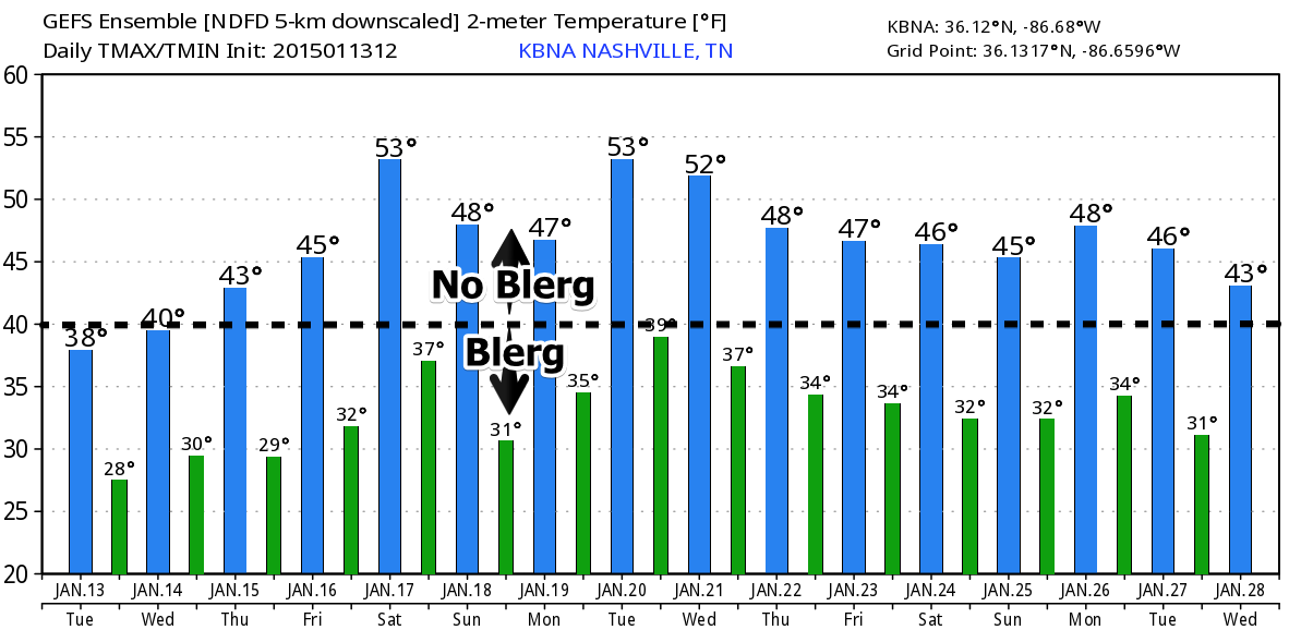
Quick Summary: Next 48 Hours
Cold!
So we had a little snow today in the World of Wooly Mammoths known as “Joelton.”
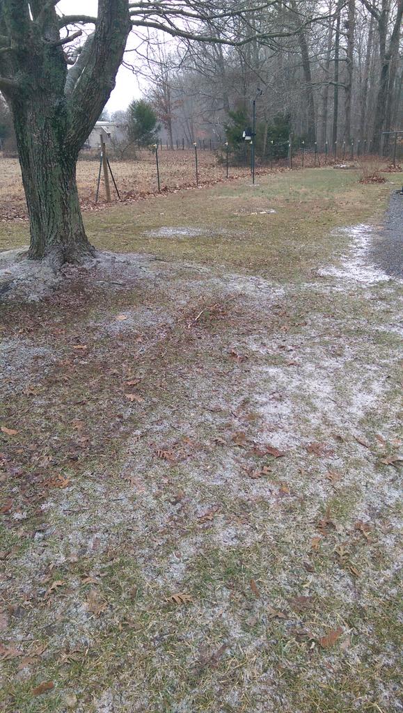
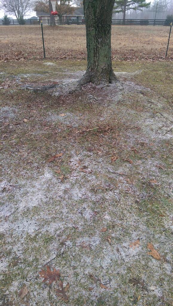
Impressive, right! Thanks to @MTNdispatch for those photos.
Overnight — cloudy, with temps dipping into the mid 20’s.
Wednesday – One More Day of Blerg – Wake Up 25°, High 38°
High pressure will begin to sink down into Middle Tennessee from the Great Lakes region. This will help to weaken the Blerg and produce a partly cloudy sky by noon.

Overnight temps will temps will drop into the low/mid 20’s under mostly cloudy skies.
To qualify as a Blerg:
1. Temps in 30°s or below, and
2. No snow, and
3. No sun.

One of our missions is to toss better words into the weather stream. 2013 was Crazy Ivan. 2014 was Snowdome. We’re hoping 2015 is Blerg. Help spread the word.
Thursday – Blerg Out – Wake Up 24°, High 44°
High pressure will dominate and produce mostly sunny skies and temps in the mid 40’s!

Temps will plummet back into the mid 20’s overnight under clear skies. This warming trend will continue for the rest of the week!
Extended:

There is Blerg relief on the horizon:
This website supplements @NashSevereWx on Twitter, which you can find here.
Categories: Forecast Blogs (Legacy)
You must be logged in to post a comment.