
We got a little rain out of the weak cold front that came through yesterday.
Davidson County:

Williamson County:

Today – Cool & Dry – High 81
The cold front is now positioned south of the Tennessee border, allowing cooler, drier air to trickle in from the north.
Temps will struggle to get above 80. Dew points (humidity) will fall all day until we reach the 50’s (dry!) by Monday.
Although we will stay mostly cloudy, our rain chances today are very low. The National Weather Service is calling for a chance of “sprinkles.”
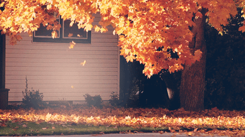
It’s not quite fall yet, but here is a tease… Just like today’s weather.
Monday– Sunny & Dry – Wake Up 62, High 86
The dry air will continue to filter in, making Monday pleasant, even though sunny skies will raise the high a few degrees warmer than Sunday.

Enjoy Sunday and Monday, because we will be back in the 90’s by Tuesday.
Tuesday – Return To Normal – Wake Up 64, High 90
Our winds will become southerly, which will usher in humidity and temps in the 90’s.

A much anticipated cold front is forecast to march through Nashville some time on Thursday, bringing us fall like conditions and a bit of rain!
Extended:


Saturday’s low/high will be 55°/74°. And dry!
This website supplements @NashSevereWx on Twitter.
Categories: Forecast Blogs (Legacy)
You must be logged in to post a comment.