
Current Official Hourly Observation (taken at :53 on the hour)

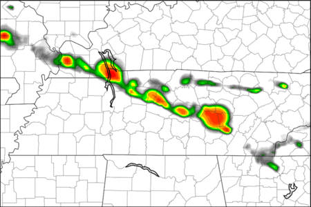
Current Radar Loop
![]()
Temp & Rain Probabilities Next 36 Hours (auto-updating)
Tonight – Partly Cloudy, Chance of Showers Late – 10 PM Temp 74
Our mostly sunny skies we are seeing now will become partly cloudy overnight.
This slight increase in cloud cover is in response to an approaching cold front, which will bring Nashville a slight chance of rain late tonight into tomorrow morning. Davidson County will have slightly better chance to see storms than Williamson County.
The Storm Prediction Center has most of Davidson and the Northern part of Williamson County at risk for thunderstorms.

Neither County is at risk for severe weather tonight.
Thursday – Mostly Sunny, Chance For Thunderstorms – Wake Up 65, High 89
The cold front– and the chance of rain and storms — will move south through Middle Tennessee on Thursday and Friday. These storms will be scattered, with the stronger storms popping up during the heat of the day.
The Storm Prediction Center has put both Counties in the yellow region…

…which means we will have a slight chance for severe storms. The SPC is predicting that strong to isolated severe storms should develop Thursday afternoon into the evening. Where, exactly, we don’t know. We expect hail and damaging winds to be the main threat. SPC currently is not mentioning any meaningful tornado threat.
Friday – Partly Sunny, Chance For Thunderstorms – Wake Up 66, High 85
Friday will shape up to be much like Thursday. As the cold front continues to push through Middle Tennessee, we will have a chance for showers and isolated storms.
This loop is produced from the NAM model and depicts between 7 PM Thursday and 7 PM Friday.
This shows showers developing during the heat of the day and lingering overnight on both days.
The SPC is not forecasting any severe weather in Nashville for Friday, but some of the isolated storms could be strong.

The National Weather Service is predicting the cold front will have pushed completely through Friday night, diminishing our chances for rain and giving us cooler/ drier conditions.
Extended Forecast:

This site supplements @NashSevereWx on Twitter.
Categories: Forecast Blogs (Legacy)
You must be logged in to post a comment.