Current Official Hourly Observation (taken at :53 on the hour)

Current Radar Loop
![]()
Temps Next 36 Hours (auto-updating)
Sunday – Sunny & Cool
This morning’s cold front cooled us off and cleared us out.

Sunny skies!
Monday – Mostly Sunny – Morning Low 40 / Afternoon High 68
Awesome weather. They just heard about it…

Tuesday – Mostly Sunny – Morning Low 46 / Afternoon High 74
More awesome weather. Winds will be increasing just a touch through the day.
And then overnight. . .
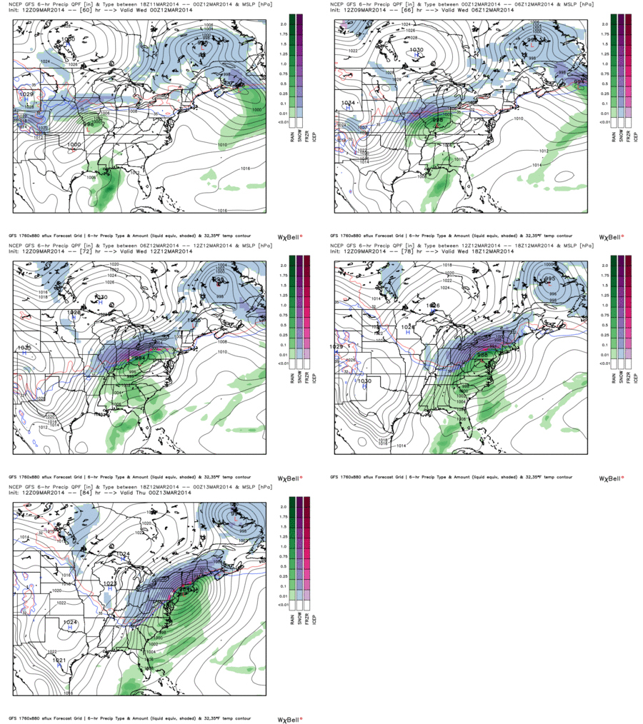
Cold front and rain!

GFS model Tuesday 7 pm – Wednesday 7 pm:

Insufficient moisture from the Gulf of Mexico means a few thunderstorms . . .
. . . but no severe weather Tuesday night.
Temps will drop Wednesday. We can’t rule out rain/snow mix Wednesday night. Temps aloft will be cold enough; however, surface temps are forecast to be too warm for snow. In a battle of rain vs. snow, rain is currently the heavy favorite.
Official Extended NWS Forecast:
GFS Temperature anomaly map (showing we’ll be much colder than normal) Thursday 7 am:
That’s almost 20 degrees below normal. We are not forecast to see average/above average temps again until the weekend.
Additional information can be found on Twitter @NashSevereWx.
Categories: Forecast Blogs (Legacy)


You must be logged in to post a comment.