Current Official Hourly Observation (taken at :53 on the hour)

Temps Next 24 Hours (auto-updating)
Current Radar Loop

Tonight – Rain Ending; Black Ice Possible Late – 9p 35, Midnight 30, 3a 26
As I write this (at 5:30 PM), the back edge of the rain is crossing the Tennessee River. The radar (above) will show you where it is now.
The rain should be ending between 8 PM and 9 PM tonight.
While it’s possible the tail end of the rain may change to snow, it’s more likely the precip will have departed before the subfreezing temperatures arrive.
By the time the rain ends, we’ll have seen between 0.25″ and 0.5″ of rain. Temps after 9 PM will drop to freezing. With 30 forecast at midnight, and 20s expected during the wee hours, black ice may develop on the roads. Be careful everywhere, especially on bridges, overpasses, and at elevation. Temps aren’t forecast to rise above freezing until around 7 AM.
Saturday – Chilly; Rain/Flurries Late? – AM Low 20, PM High 37
The cold front arriving overnight contains dry air; however, by the evening, a fast-moving weathermaker will speed into Middle Tennessee from the northwest. It may produce rain/snow, but the dry air already in place and the fast pace of the system should limit any shenanigans. We may see a few flurries here and there, but, and I know you’ll be

but #SnowDome.
Sunday – Partly Sunny – AM Low 29, PM High 50
That’s more like it.
Next Week – Temps Way Above Average!
You may know Monday as President’s Day, but our NWS calls it Washington’s Birthday. I am sure this is technically correct; I haven’t looked it up. Frankly, that’s a ridiculous holiday, insofar as any holiday that gets some out of work can be fairly criticized (it can’t).
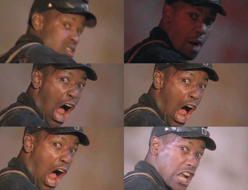
In honor of Washington’s Birthday, I give you Denzel Washington, in his greatest role as Trip. I prefer him to George Washington any day.

If you must air your grievance about Denzel’s greatest role, or if you have any local weather needs, we’re on Twitter @NashSevereWx.
Categories: Forecast Blogs (Legacy)
