
Today – Humid (“Almost Muggy”), Windy, Stray Drizzler – Mid 60s
A south wind (13 mph by this afternoon) is pumping in the humidity. It’s so humid that a stray light drizzler may drift by, but no measurable rain is expected.
Temps will climb into the mid-60s by noon, and stay there tonight and overnight.
Sunday – Severe Weather Possible – Morning Low 61, Afternoon High 73
First, it’s going to be windy (sustained winds will approach 20 mph, gusting to 30 mph) and rainy (0.6″ expected through 6 p.m.).
The Storm Prediction Center outlooked us for severe weather tomorrow (more on this below).
Morning – Thunderstorms capable of strong winds and isolated tornadoes will be ongoing in in W KY and W TN. These storms may have to battle a storm-limiting “cap” in order to go severe, but they’ll still be strong.
Our NWS called Sunday morning: “a rainy/stormy/windy mess of activity.” The question is: will it make it into Davidson & Williamson Counties in the morning?
The NAM thinks so. 6 a.m.:
The WRF agrees with the NAM. Morning storms! 8 a.m.:
The Euro and GFS disagree. The GFS has the morning dry, with storms showing up around noon.
Noon/Afternoon – We want early morning storms, because if the GFS/Euro are correct, and the storms arrive closer to the middle of the day, they’ll arrive when our instability at the surface will have increased. That instability will lift the “cap” trying to protect us in the morning. Our NWS: “This will be the time of biggest concern.”
Our NWS thinks rotating thunderstorms are possible with any storm that’s tapping the afternoon’s surface-based instability. Storms could form about 1,000 feet off the ground. You don’t want convective thunderstorms, fed by ample shear, forming that close to the ground. These conditions can produce tornadoes.
Now, before you freak out, note: the above tornado scenario is “uncertain” and a “possibility.” Our NWS described the chance of this happening as “non-zero.”
Evening – A squall line shows up in NW Middle Tennessee and comes at us:
The cold front pushing the squall line should arrive by 9 p.m., which means the squall line would arrive soon after dark. The good news is that a lot of the energy needed to power the storms will have moved northward by the time the squall line arrives. Nevertheless, powerful straight-line winds, and brief/isolated tornadoes inside the line will be possible.
Our severe weather threat is real. The chances are better to our north. Here’s the SPC’s Day 2 Outlook:
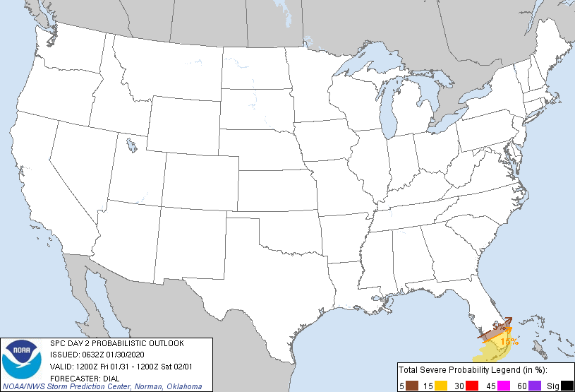
The SPC will update this forecast this afternoon. Check back here and consult all reliable weather sources again before you go to bed tonight.
Questions? We’re on Twitter @NashSevereWx.
Categories: Forecast Blogs (Legacy)