Tonight – Light Rain Breaking Up – High 84
Dew points are still relatively low, but as rain approaches from the west, it will bring with it higher dew points and higher humidity.
Very light rain may arrive (if it holds together) just in time for the commute home tonight. The rain should be gone before midnight. Some fog could develop late tonight after the rain.

Tuesday – Multiple Batches of Rain, Some Strong Storms Possible – High 89
7am 69 . 10am 80 . 1pm 87 . 4pm 89 . 7pm 86 . 10pm 79
This is were things start to get tricky. There could be a line of thunderstorms that make it here around the morning commute. If these storms hold together when they arrive, heavy rain, lightning, and a strong gust of wind should be the worst of it.
Hi-Res NAM model really picks up on our morning rain chances Tuesday. Here it is at 9 a.m.
Because of the uncertainty of the first round of rain in the morning, there is even more uncertainty of what could develop later that night. This is when we expect the storms may able to reach strong/severe limits.
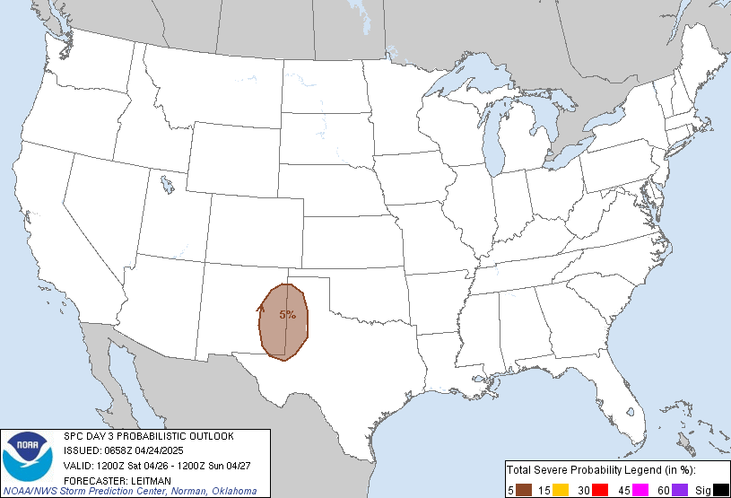
The SPC (Storm Prediction Center) puts us under a 5% chance of severe weather happening within 25 miles of you Tuesday:

Wednesday – Scattered Strong Thunderstorms Possible – High 90
7am 74 . 10am 83 . 1pm 88 . 4pm 90 . 7pm 87 . 10pm 81
More strong to severe weather is possible. We may still be dealing with any leftover showers/storms from the Tuesday. Daytime heating may aid in firing off a few thunderstorms, as another impulse of energy makes its way through the region. Hail and damaging winds would be the main concern, along with the possibility of localized flooding and frequent lightning.
SPC gives us a 5% chance of severe weather happening within 25 miles of you:

Categories: Forecast Blogs (Legacy)


You must be logged in to post a comment.