Tonight – Mostly Cloudy – High 81
Our low this morning was only 61. The 88 year old record low of 58 still stands. Let’s do better next year.
Expect this comical July cool-wave to continue tonight.
Tuesday – Showers/Thunderstorms – High 85
7am 68 . 10am 78 . 1pm 83 . 4pm 85 . 7pm 82 . 10pm 76
Our nice, comfortable weather is coming to an end. Sigh. Temperatures will still be below average, but humidity will slowly rise. Extra moisture and an arriving shortwave will produce showers/thunderstorms Tuesday afternoon.
Our NWS thinks we could see 1/2″ of rain Tuesday through Tuesday night. Tomorrow night’s outdoor plans are in danger.
Ri-Res NAM model Tuesday 3 PM – Wednesday 12 AM:

Wednesday – Showers/Thunderstorms – High 87
7am 71 . 10am 79 . 1pm 84 . 4pm 85 . 7pm 82 . 10pm 75
A stalling frontal boundary will put us at risk of showers/thunderstorms. With rising dew points and sufficient upper level wind shear, a few storms could reach strong to severe limits.
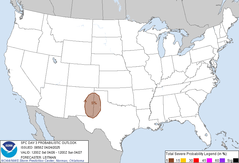
The SPC (Storm Prediction Center) put us and much of the South under a 5% chance of severe weather occurring within 25 miles.

Here is the GFS (American) model Wednesday 1 AM – Thursday 1 AM:

The timing of these storms is uncertain. Check back tomorrow and on Twitter (@NashSevereWx) for more information.
Test
Categories: Forecast Blogs (Legacy)
