Tonight
Humid conditions persist (dew point 67 at 3 p.m.) courtesy of wet winds from the south. These conditions are causing hit-or-miss (mostly miss) isolated showers and storms to scatter and move north across Middle TN tonight.
Meanwhile, our NWS is watching a MCS (Weatherspeak Translation: Mesoscale Convective System, a/k/a “large cluster of storms”) out in Arkansas and Missouri (not that stuff in OK). Behold this 6 hour radar loop from weatherbell.com through 3:13 p.m.:

That MCS might make it here tonight or in the wee hours of Friday morning, although our NWS thinks areas to our NW have a better chance. If it makes it, expect a few thunderstorms. We aren’t worried about severe weather.
Friday – High of 87 & Saturday – High of 88
More hit/miss humidity-driven storms possible, mostly in the afternoon and pre-sundown hours. If you’re getting married Saturday, congrats/highly recommended, and don’t worry about the weather. This is standard June weather, and you can’t ask for anything better. [Joke redacted]
Saturday Night Storms
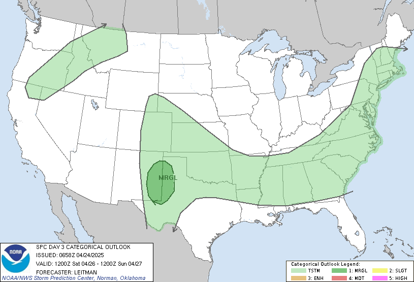
An organized storm system will approach, ETA after dark (probably long after dark). This system will be sufficiently juiced to set off a few thunderstorms (some may be strong), but the Storm Prediction Center has excluded us from the severe risk area, which will be confined to our NW:

Sunday – High 83
Additional storms possible ahead of a passing cold front. Again, severe weather is not expected, but if the timing of the system changes, so will the dynamics and potential storm severity. Right now, don’t worry about it, and stay tuned.
Good news: humidity will shut off for the first half of next week.
As always, during-the-storm updates are found on Twitter: @NashSevereWx.
Categories: Forecast Blogs (Legacy)
