Sunday 51/73
Clouds will file in Sunday afternoon. Light rain is possible. Here’s what the models think:
European (ECMWF):
American (GFS):

American (GFS) model, also at 1pm Sunday. The 4pm run takes the precip N of Davidson & Williamson Counties
Any rain is forecast to be light. It should not ruin any outdoor activities.
Monday 55/76
Cloudy, but no rain is forecast.
Next Week’s Storm Potential – Thursday?
The dynamics are in place for strong & potentially severe weather this week, but there is uncertainty if it’ll all come together, and if it does, when it’ll arrive. Right now, the best guess is it’ll arrive Thursday.
Yesterday, the European model gave a Thursday morning ETA. Today it thinks storms arrive Thursday night:
The American (GFS) model thinks the storms will come Thursday morning:

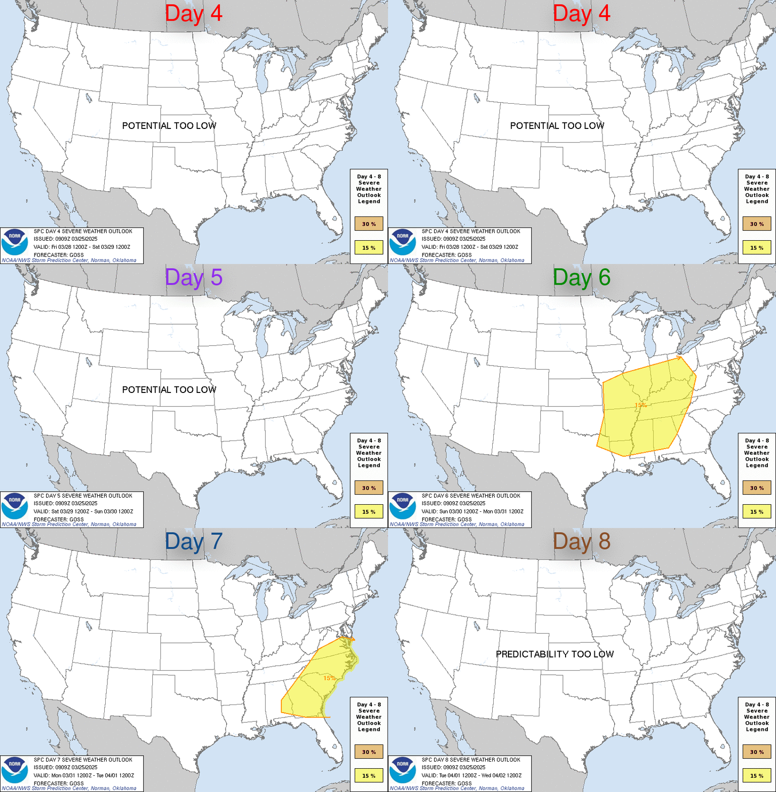
The Storm Prediction Center (SPC) has identified West Tennessee as an area to watch for severe weather Wednesday and Thursday. Although we are not currently included in the SPC outlook, those storms will come in our direction. Here’s that SPC outlook:

Thursdays are starting to look snakebit for outdoor activities.
Categories: Forecast Blogs (Legacy)


You must be logged in to post a comment.