
Current Official Hourly Observation (taken at :53 on the hour)

Temps Next 24 Hours (auto-updating)
Current Radar Loop

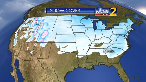
Behold, the #SnowDome:
Tonight – Increasing Clouds – 9PM 38, Midnight 35
The Countdown to Spring continues:
(This gap in space was brought to you by The Intern. Everything is his fault, even if nothing is his fault).
Not much going on. Clouds will be increasing ahead of tomorrow’s rain/cold front.
Friday – Rain – Low 30 / Afternoon High 46

Winds throughout the day will be increasing 10-15 mph, with gusts of 25+ mph.
Rain is not expected to arrive until the afternoon, and it should end before midnight.
GFS model Friday Noon – Midnight:

There is a chance that rain could begin to change over to snow late Friday night as the cold air comes in behind the cold front. No accumulation, just an opportunity to see snowflakes fly.
Saturday – Mostly Sunny & Chilly – Morning Low 22 / Afternoon High 39

Official extended NWS Forecast:

Our first taste of Spring next week! High temps
Tuesday 61°

Wednesday 65°

Thursday 67°

Questions? We’re on Twitter @NashSevereWx, where you can find additional info.
Categories: Forecast Blogs (Legacy)
You must be logged in to post a comment.