
Those are the three best words to sum up today’s weather. The warmest temps we’ve seen in a December in years are still hanging around. 70’s for highs Today, Saturday, and Sunday are forecasted before we take a big temperature tumble down to the low 20’s by Tuesday morning.
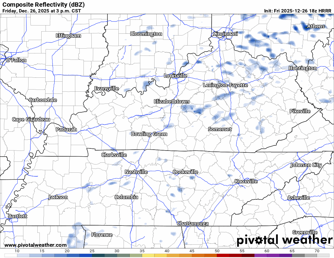
Today. 70º for most of us with periodic drizzle. We’ll struggle to get below 60 overnight. Here’s the HRRR model’s thought about precipitation this afternoon.
Saturday. More of the same. Overcast all day with a few chances for rain.
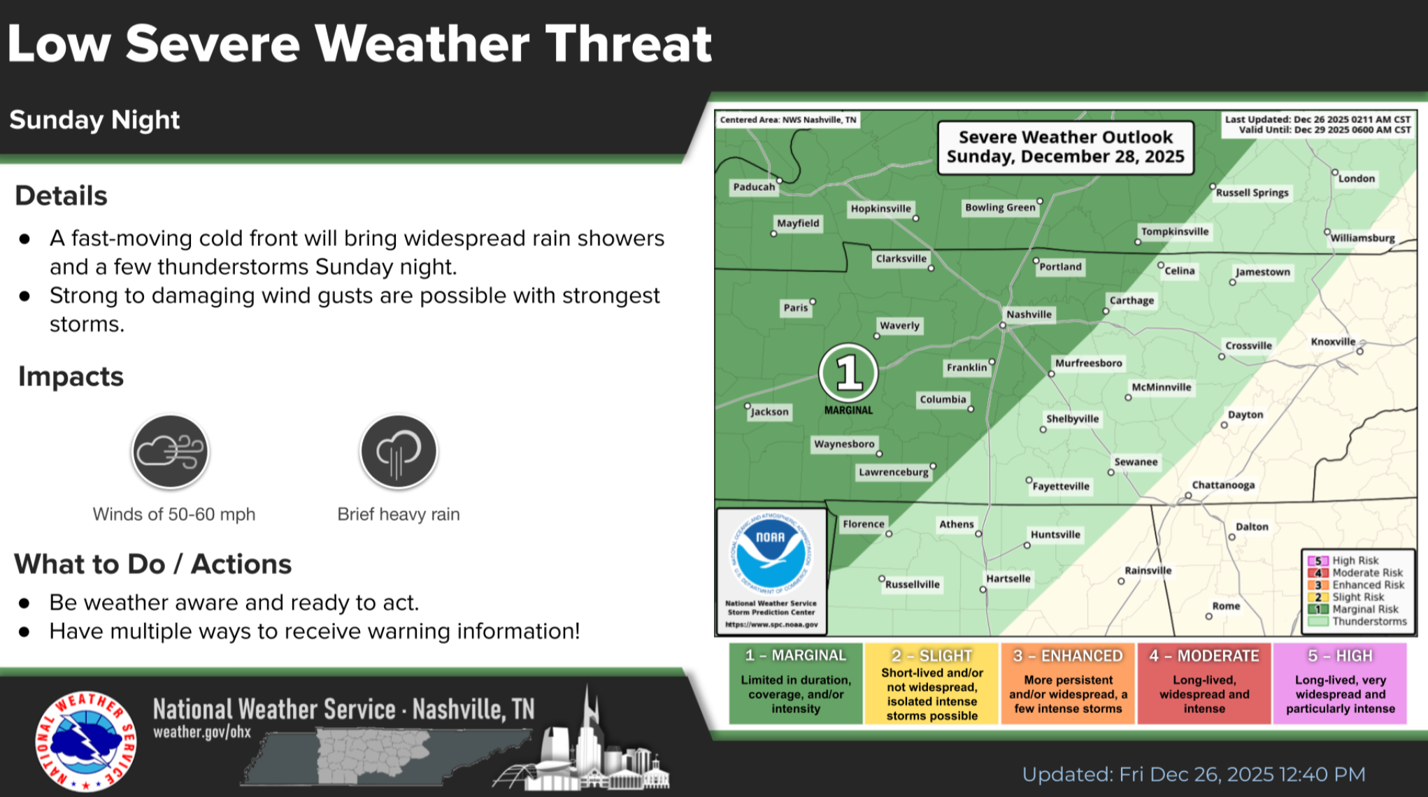
Sunday. Moving day for our weather. From NWS Nashville “A strong cold front will sweep through late Sunday, bringing widespread rain, gusty winds, and a substantial temperature drop starting Monday.”
The storm prediction center has issued a marginal risk of damaging winds for late Sunday. Something we’ll keep an eye on. Thanks to NWS Nashville for the handy graphic.
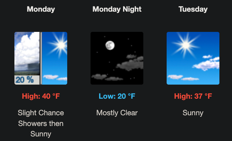
Monday temps will be falling all day. Clouds will move out and without that insulating layer we’ll see the low 20’s Tuesday morning. If you’re headed to the Music City Bowl, prepare for a bright sunny day with temps in the upper 30’s.
Categories: Featured Blog