
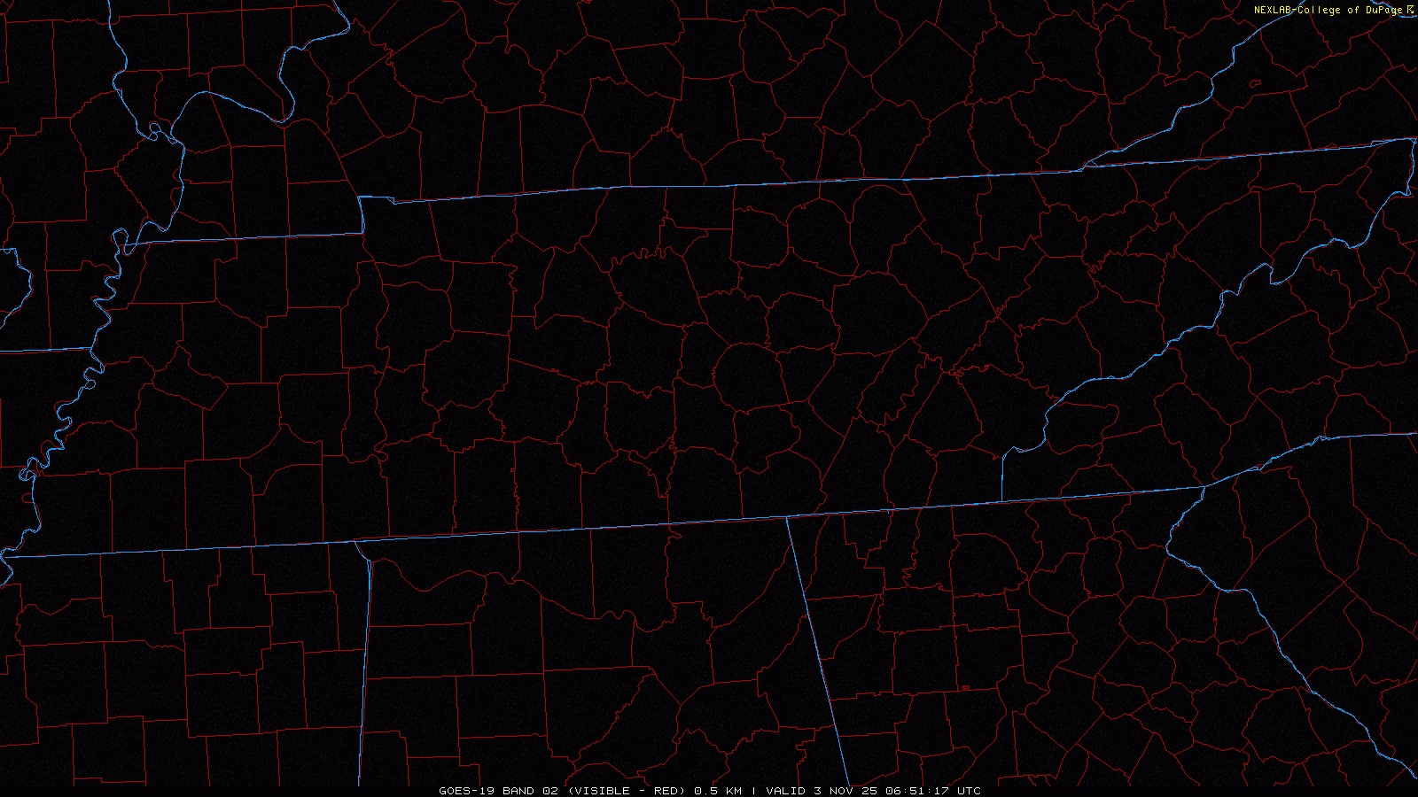
Fog was (still is) so dense this morning, it can be seen from space. Fog should continue to mix out over the next hour or so and visibility will continue to improve.
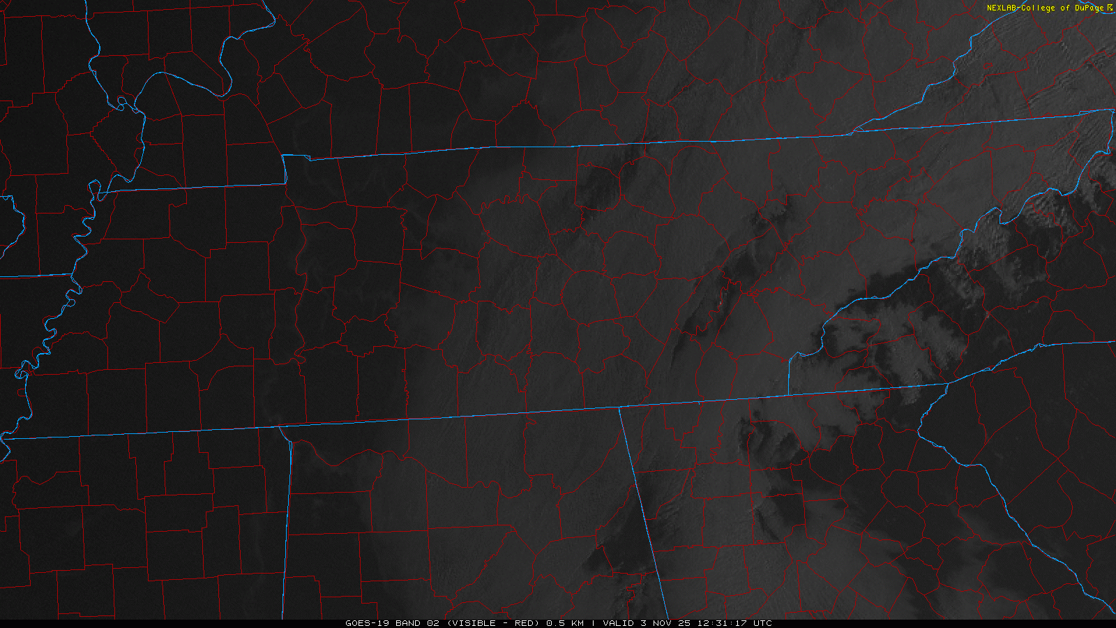
More fog is possible Tuesday morning, although it likely won’t be as widespread.
In other news, BNA got down to 34° last night – the coldest so far this Fall. I imagine several backyards made it down to freezing.
Similar temperatures are expected tonight/Tuesday morning. We won’t see any Frost/Freeze products issued since growing season is over with.
We’ll quickly forget about these near-freezing temperatures when our high temps get into the low 70s later this week.
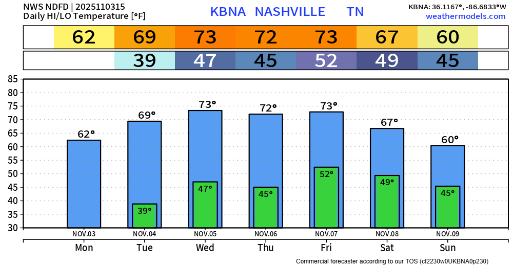
Our next rain chance continues to be Friday, with of course some model discrepancy – per usual ~ 4 days out.
We are still a ways out from getting any insight from our high-res models, so we are stuck with the GFS and Euro.
I think the NWS Nashville AFD sums it up perfectly.
“If the GFS continues to have its way, forecast soundings are looking better for at least a low-end severe threat Friday afternoon into Friday evening. However, that`s only one model solution. Euro extended guidance is much less impressive. Due to lack of agreement, I`ll continue to just say, enjoy the week of above average temperatures and beautiful weather while keeping an eye on the Friday forecast.”
Emphasis on “that’s only one model solution” – we are still several days out from this, and models will flip-flop back and forth on their thinking. For now, I’ll do exactly what the last sentence of the AFD says – enjoy the warm afternoons, while also keeping an eye on Friday.
Maybe some additional rain chances on Sunday, but those look very low at the moment. Models are thinking we see another shot of cold air come this time next week.
Categories: Featured Blog