

Hot this weekend with temps in the low 90s. Fall officially arrives at 7:43p on Sunday, but it won’t feel like it. “Fall-like” temps hold off until middle of next week.
Low chance of a shower this weekend. Most of us stay dry, but a few of us could get a quick shower. NBD – no need to alter outdoor plans.
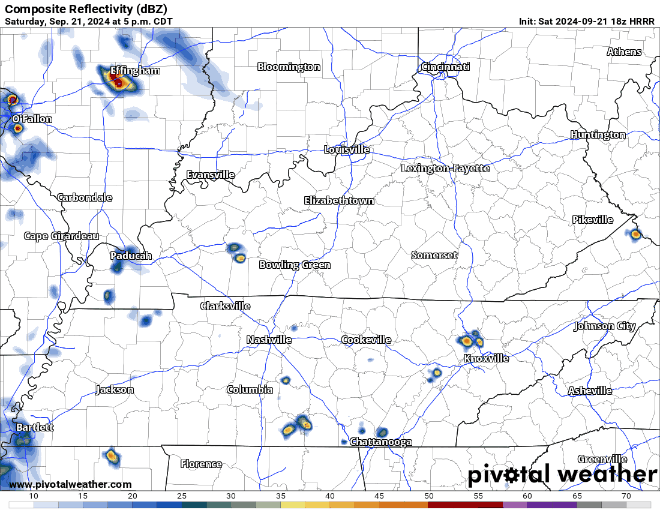
HRRR model (below) loops from this afternoon thru Sunday night (sry long gif warning). Shows most of the rain to our north, but a possibility of a stray shower in the area. No severe weather expected.
Higher rain chances Monday and Tuesday (especially Tues) as a cold front pushes thru the area. No hazardous weather expected, and rainfall totals expected to stay under half an inch. Specific timing TBD.
I will leave you with this cliffhanger…
“Models diverge significantly Wednesday and beyond, and confidence is very low regarding the forecast from here.” – NWS Nashville

Categories: Featured Blog