


Friday morning rush hour may be rainy, maybe even heavy-rainy. HRRR model:
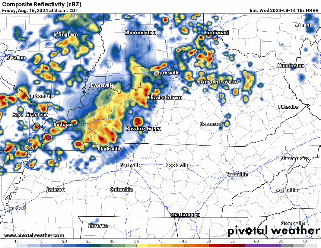
- Previous model runs suggested lightning and maybe a few strong cells. But recent runs show this morning wave weakening on approach. HRRR forecast sounding above shows a big drop in storm fuel as this line arrives.
- Not concerned by this round.
- This forecast may change.
Another storm round is possible later in the day Friday. I’ll update the HRRR model tonight with more data, but from what we see in the data now:
- This round should be the stronger of the two.
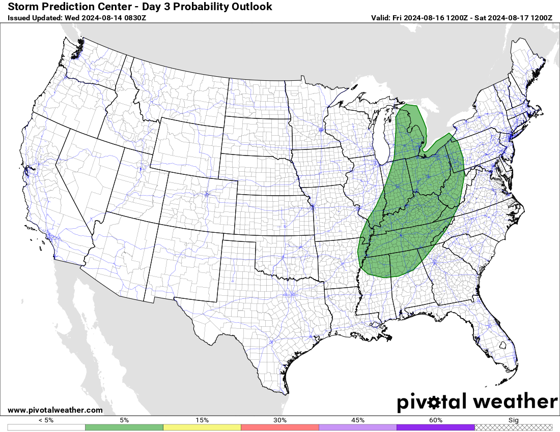
- SPC (below) thinks the probability of a severe storm (wind, hail) within 25 miles of you is 5%:
- Euro model data shows plenty of storm fuel, a little bit of shear, and other ingredients that appear to be a wind/hail threat with lightning and a few downpours for some (maybe not all) of us. Can’t totally rule out a tornado but think that’s so unlikely that I’m not worried about it right now. GFS model shows similar storm friendly ingredients.
More storms expected Saturday, scattered around, off and on (mostly off). Lightning may threaten outdoor plans.
- Models are struggling to provide time and location specifics.
- Euro and NAM models suggest a big line of storms will come down from KY at various times Saturday or Saturday night.
- Flooding is not indicated in any model data at the moment, although WPC holds out a 5% to 15% chance water could get up in the usual spots by Saturday for those where storms may “train” over the area.
Rain chances end Sunday around noon.
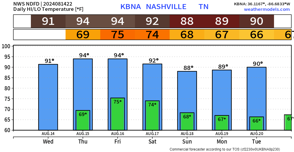
Meanwhile, dewpoints will climb back into the 70s (swampy) Friday and Saturday before coming back down into next week, when not-much is looks to be happening.
 Log In To Facebook To Comment