

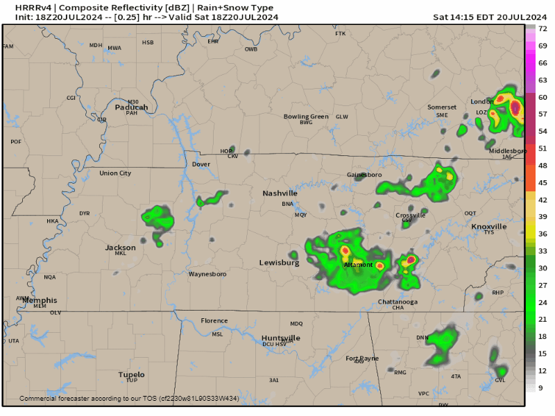
Plans tonight may be interrupted by random, pop up downpours and thunderstorms.
- A warm front came thru today, sparking storms that went up, and collapsed fast.
- Some of us will probably see a few downpours with lightning later this afternoon and early tonight, ending shortly after sundown.
- Those with outdoor concert plans should be prepared.
HRRR model for tonight:
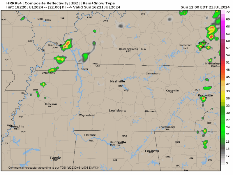
Same thing Sunday. Heat and humidity build through the afternoon, sparking downpours with lightning late afternoon through early evening. HRRR model:
All these are “Wattery” storms:
- randomly spread out like a lottery
- may contain lightning (watts, get it? gold, I know)
- small storms capable of producing a lot of rain quickly; flooding can occur in these setups, but it’s rare
- few storms may produce microbursts as they collapse, spreading strong straight line winds in a concentrated area.
Expect wattery uncertainty to continue this week. Tue & Weds we may see a frontal boundary give a little more “forcing” to these systems, picking up their intensity, but right now we are not outlooked for severe weather in the foreseeable future. That may change.
As for hazards:
- We’re in minor drought, but
- Some spots may get a lot of rain, maybe even too much, too fast, so flooding will be monitored.
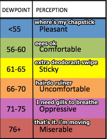
Temps will should stay under 90 because of an increase in moisture = more clouds = more shade. Humidity will switch between uncomfortable and oppressive.
Temps:

Categories: Featured Blog