

No sound the alarm type of changes, but there have been several noteworthy changes to our forecast with Beryl.
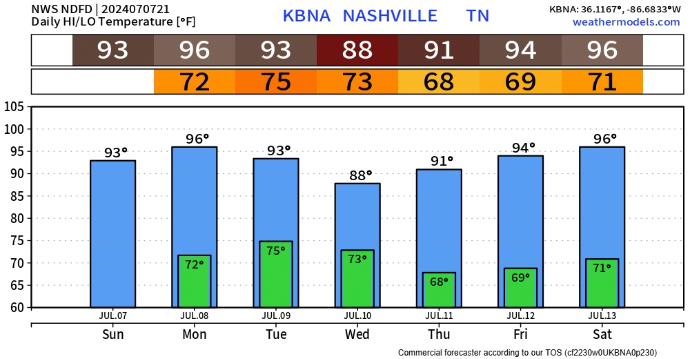
First things first, a tad warm today, but dewpoints have stayed in the upper 50s/low 60s, making temps somewhat tolerable.
Hotter temps return tomorrow, along with more moisture. Heat index values up to 103° possible but should remain below Heat Advisory criteria (105°+).
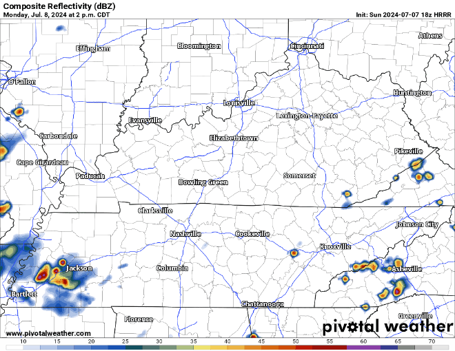
Rain chances also return tomorrow, relatively low chances, but cannot rule out some showers/lightningstorms tomorrow as we get into the afternoon and evening hours, continuing into the overnight hours.
In regard to Beryl, there have been a few changes to the forecast since yesterday.
“…it puts Middle TN into a position of at least a low-end severe weather potential rather than a heavy-ish rain event. By no means am I ringing any bells here, but this is a change from what we were seeing yesterday. Best chances for some isolated wind gusts and yes, even a brief spin-up would be west of I-65.” – NWS Nashville AFD
Beryl will at best be a Tropical Depression (if not the Remnants of Beryl) by the time it gets up towards us, but with us being in the front-right quadrant of the system, this will leave us with a low-end chance of some gusty winds and potentially a brief, weak, spin-up tornado.
The timeframe for those low-end chances appears to be Tuesday afternoon and evening, but this could change! This will all depend on Beryl’s exact track. Plenty of updates to come between now and then, but Tuesday will be a good day to remain weather aware.
Forecast rainfall totals have lessened, with less than an inch expected for us.
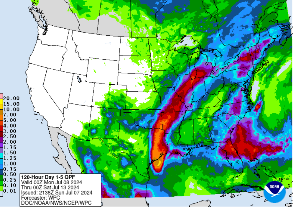
Some good news is that Wednesday and into the weekend look a lot drier, with only low, if any rain chances to deal with.
Categories: Featured Blog