
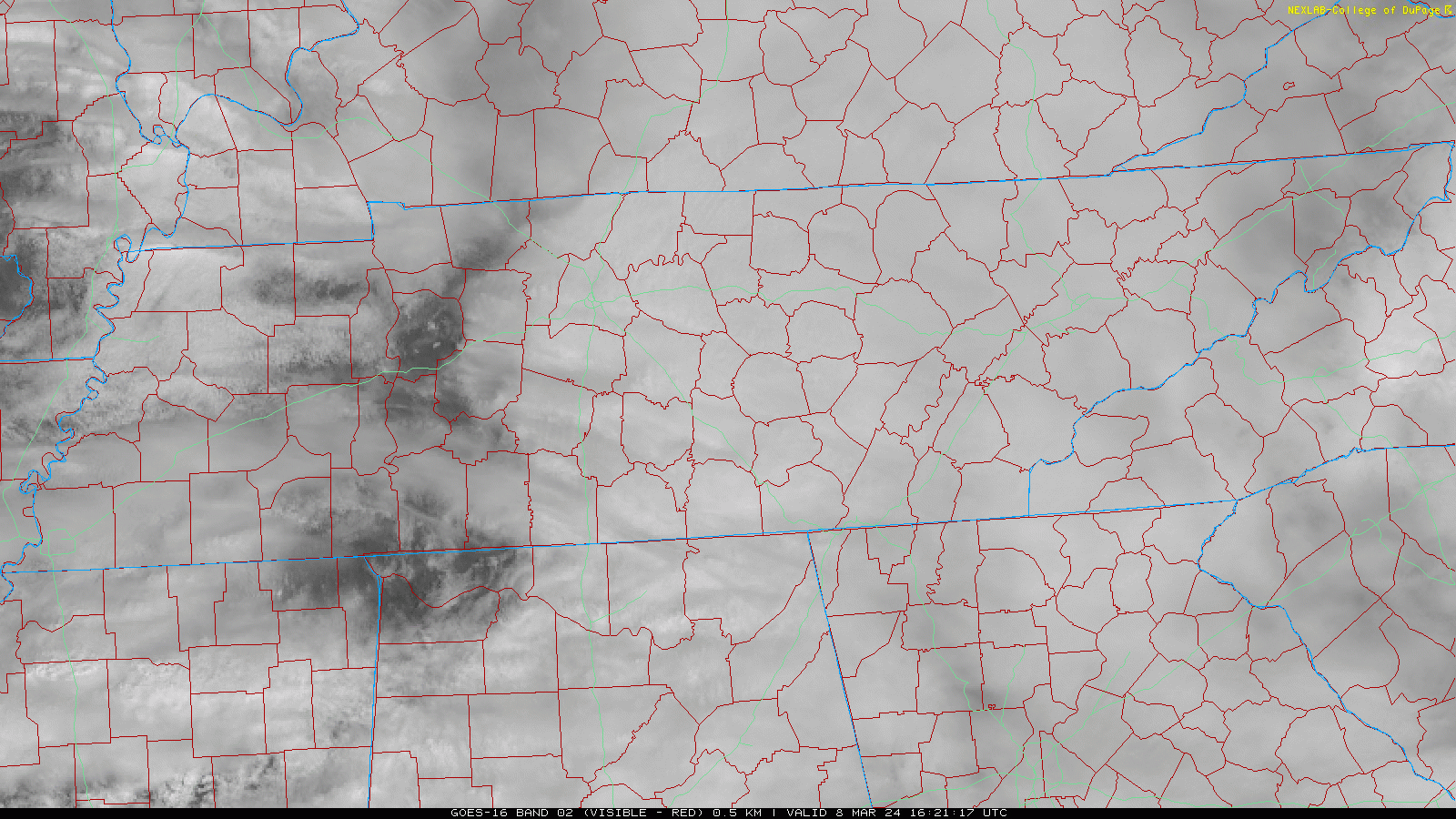
Today’s blog feat. sunshine south of I-40 that won’t last.
More light, off and on rain incoming tonight and Sat morning. Latest HRRR below, time stamp upper left:
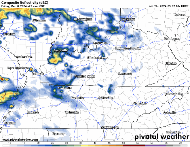
Downpours Sat AM may ruin dry-required activities. 0.75″ average rainfall, enough to waterlog most fields. However, variance will be high so your results may vary.
Severe weather threat today remains safely south of us:
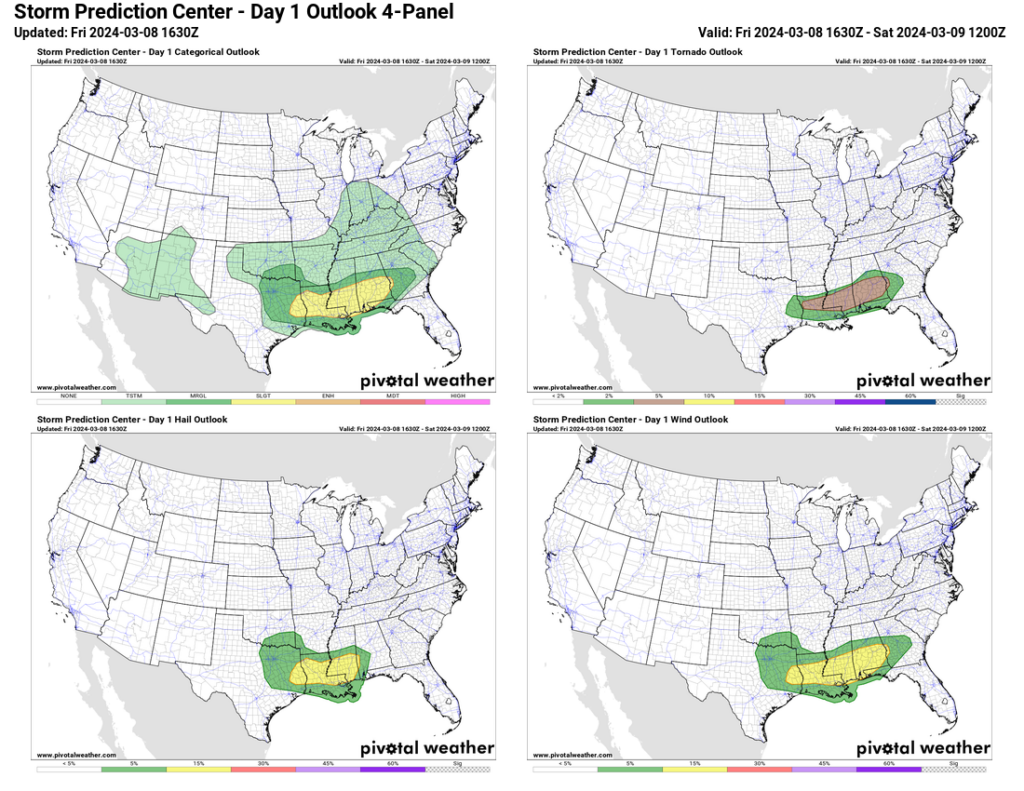
We are not outlooked for severe weather for the next 8 days.
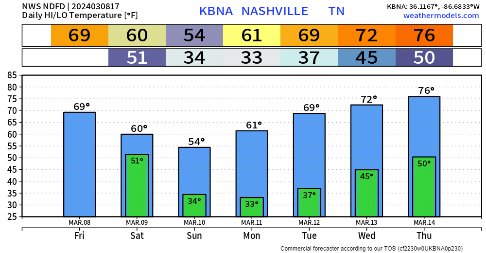
Cooler weekend temps, near freezing Sun & Mon AM, then wewarmup.
“Wewarmup” is a great word.
Next precip potential next Thu-Fri-Sat.
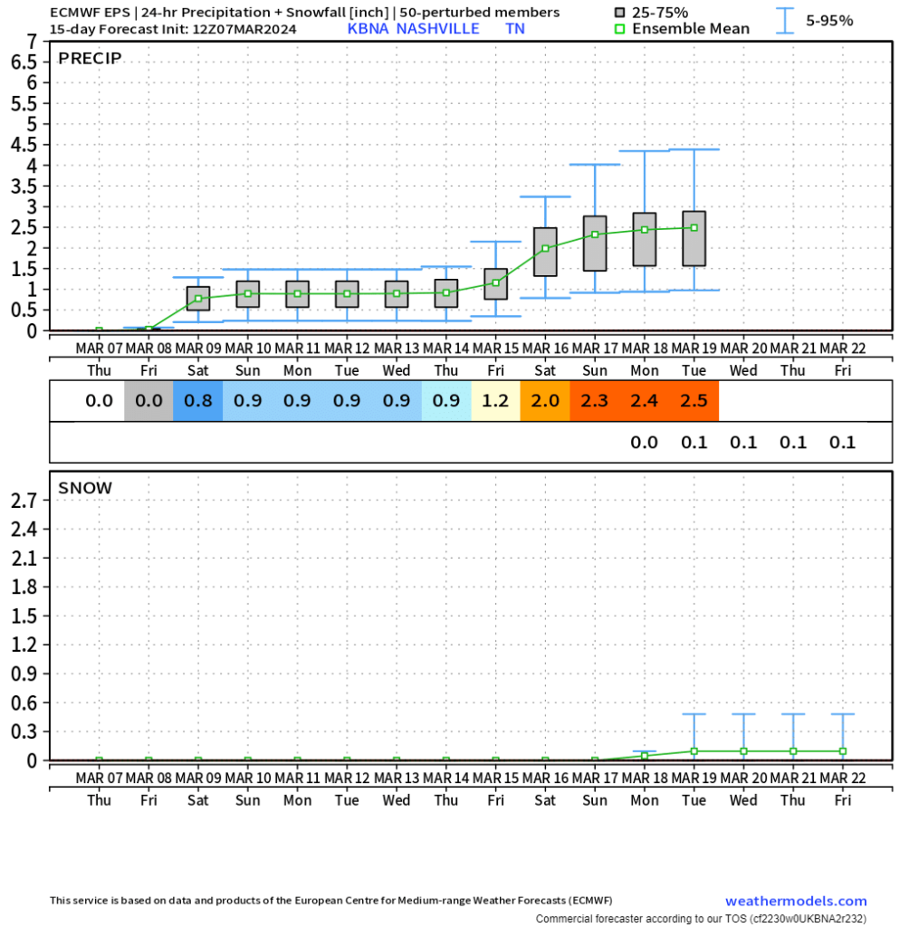
00Z [weather model] guidance differs considerably on how the upper pattern will evolve late next week, but in general appears our next rain chances will arrive Thursday into Friday as an upper low sets up over the Four Corners and shortwaves eject out across the southern US.
NWS-Nashville, AM Forecast Disco
Storm/Severe potential is unknown one week out because models disagree, but precip is a decent bet.
The intern is mowing lawns for free and antiquing up and down the Atlantic seaboard over Spring Break. So you get us OGs for a while.

Categories: Featured Blog