

It’s been… /checks calendar/ …a while since we’ve talked about any severe weather chances.
Although it is December, this is not unusual for us. We are in the midst of our second severe weather season, and although it has been quiet/non-existent so far, it has finally awoken.
Let’s dive right in and discuss.
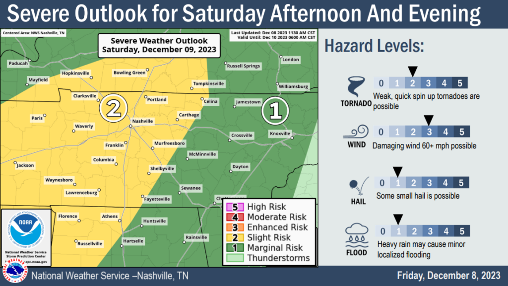
The Storm Prediction Center has outlooked us with a:
- 15% chance of damaging straight-line winds within 25 miles of a given point
- 15% chance of large hail within 25 miles of a given point
- 5% of a tornado within 25 miles of a given point
What changed? The past few days we’ve talked about how only one or two of the ingredients needed for severe weather were forecasted to be in place. Model data now shows a higher chance of more ingredients (more CAPE aka storm fuel, higher dewpoints) coming together and now here we are.
First things first, some light showers are possible tonight after sunset. These would be non-severe. They will be few and far between.
Additionally, some showers/storms are possible before the timeframe for severe weather, Saturday AM thru lunch. These would be scattered, could contain heavy rain and potentially lightning.
Severe Timing
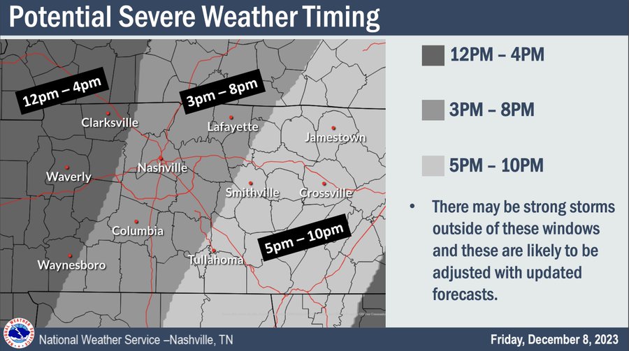
The best guess for our potential severe weather looks to be from 3pm-8pm tomorrow. Take notice of the note in the image, strong storms are possible outside of this window, and timing may need to be adjusted.
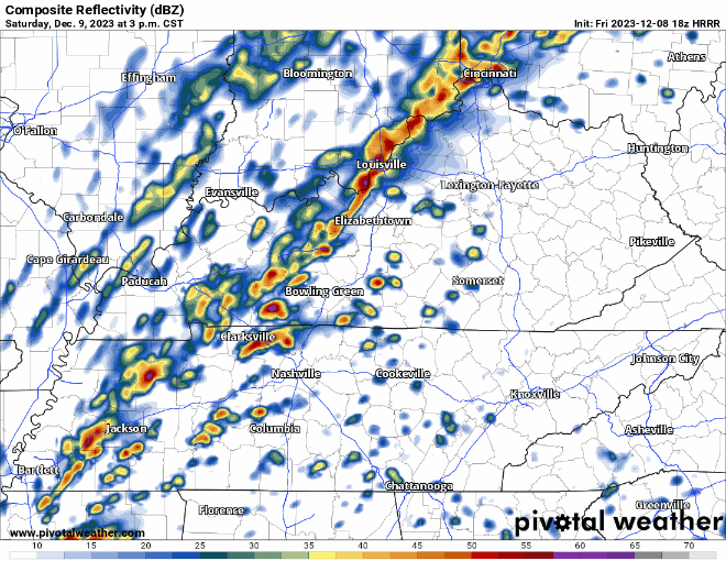
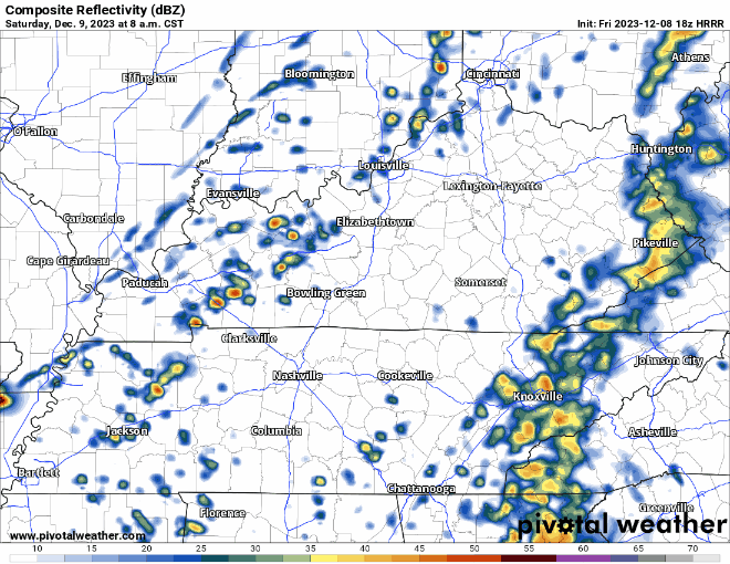
The HRRR model, above, agrees with the estimate on the timing for potential severe storms. The HRRR and a few other models show the possibility of severe storms ahead of the “main” line. These storms would have to be watched just as much as the line.
The HRRR is one of many models that is looked at, some show the timing sooner, some show later. We’ll keep you updated on ETAs as they come in.
Our main threat tomorrow afternoon/evening is damaging straight-line winds and large hail. The chance for a tornado or two is low, but not zero. Check back frequently for updates, as this forecast may change.
If you hear about any snow chances, that is exclusively for the Plateau, temperatures will not get that cold for us.
Rainfall totals from tonight thru late Saturday look around 1.5″ – 2″, very beneficial for us.
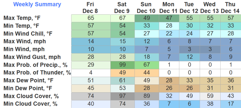
After the front moves thru Saturday night, temps will take a tumble and we’ll experience a lot cooler temps to start the week. AM temps will be around the freezing mark all week. No credible rain chances beyond Saturday night.
Quick References:
Weather changes constantly.
Follow @NashSevereWx on Twitter for any changes to this forecast.
Live coverage during tornado and severe thunderstorm warnings:

Look good.
Support the mission.

We are 100% community supported. No ads. No subscription fees. Keep it free for everyone.


Categories: Forecast Blogs (Legacy)
You must be logged in to post a comment.