

The million dollar question – “will it rain again today?” We’ve already used all our lifelines, so we are in a tough position. Good thing we have help from models.
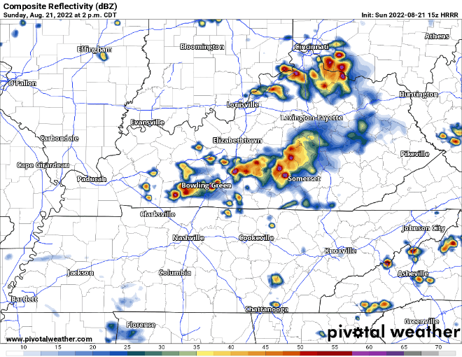
HRRR model (above) is leaning towards very few showers/lightningstorms. It wants to think the line coming in from Kentucky falls apart before it can affect the soccer game.
That’s just guidance from one model.
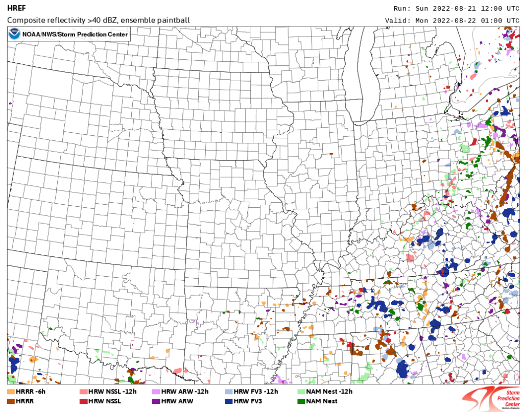
This image above is what 10 different models (each color representing a different model) thinks where the rain/lightningstorms will be at 8pm tonight, right around kickoff. I really want to believe that the NSC game will stay dry, but I have my doubts. Keep an eye on the radar and our Twitter.
There will be a concern for lightning and possibly damaging straight-line winds with these, so any outdoor watch parties, tailgates, or really any outdoor activities this afternoon/evening probably need to have covered shelter to go if said lightningstorm decides to show up. Not concerned about tornadoes.
All rain should move out before Monday AM commute, leaving Monday thru Wednesday to be dry and somewhat comfortable considering it is still August, with temperatures in the upper 80’s and dewpoints in the low 60’s(!!!)
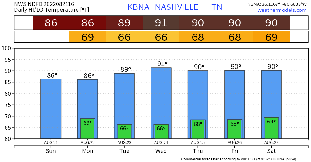
NWS Nashville says “Diurnally driven pops return to the forecast on Thursday” AKA the Wattery returns Thursday.

Or unlucky, depending on how you see it.
Quick References:
Weather changes constantly.
Follow @NashSevereWx on Twitter for any changes to this forecast.
Live coverage during tornado and severe thunderstorm warnings.

Look good.
Support the mission.

We are 100% community supported. No ads. No subscription fees. Keep it free for everyone.


Categories: Forecast Blogs (Legacy)
You must be logged in to post a comment.