Another hot + humid day with the heat index maxing out near 100°.
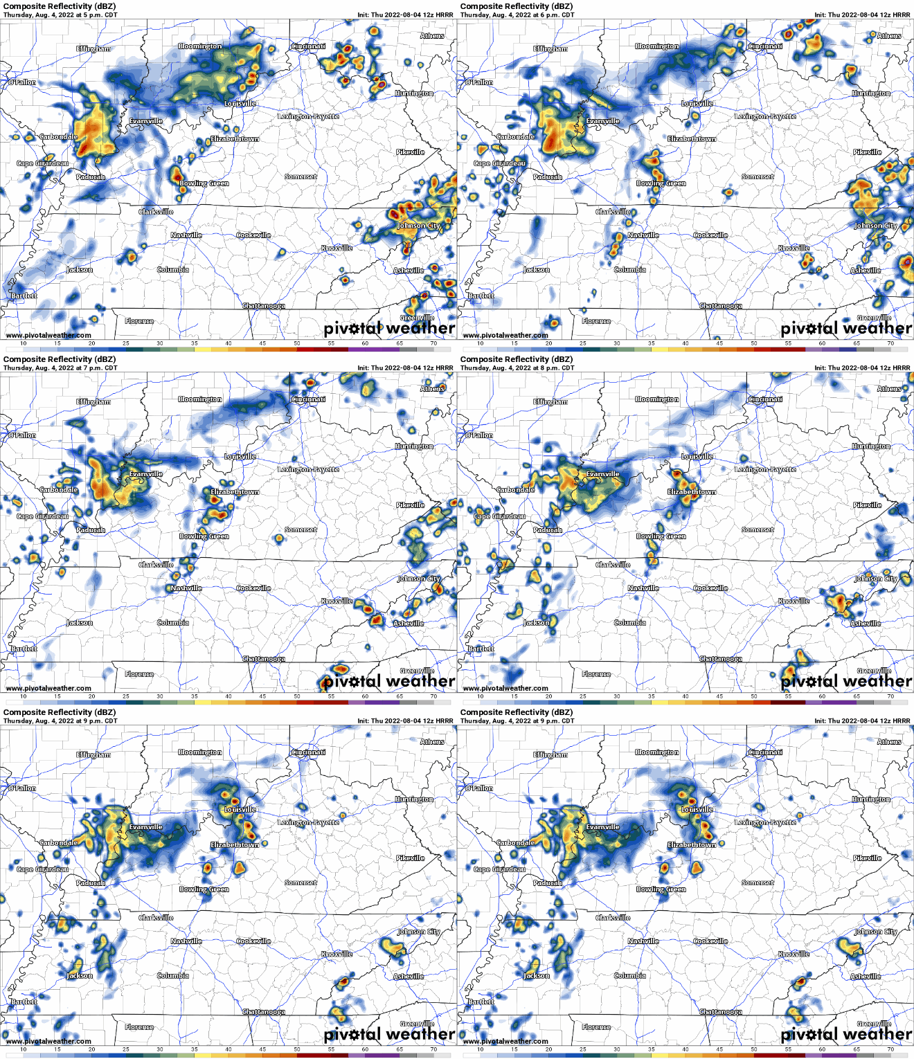
HRRR model (below) think the showers/storms in Arkansas and West TN slowlyyy make their way here, if they make it at all. ETA would be sometime in the evening. HRRR model doesn’t think there are any Wattery chances but cannot rule one or two out. No widespread severe weather is expected but a storm or two could have some strong straight-line winds and some heavy rain.
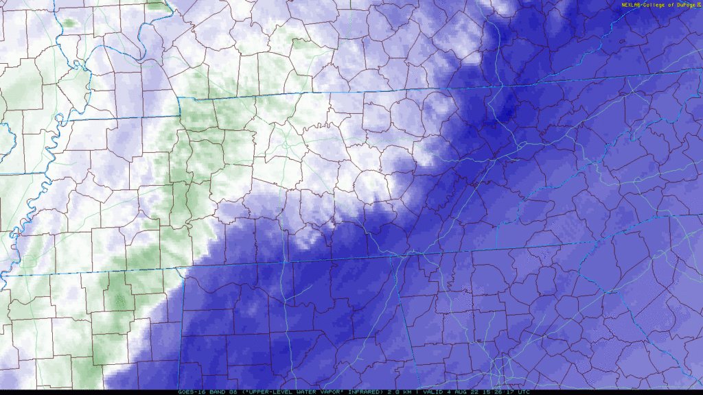
Editor’s Note: the HRRR has had a Bad Week predicting lottery winners. Don’t give it much credibility. Note below the water vapor imagery just from before lunch shows a wet airmass rotating down which may be a clue we’ll see rain this afternoon/tonight.
HRRR model then thinks more on/off rain move in overnight tonight and continue through lunchtime Friday.
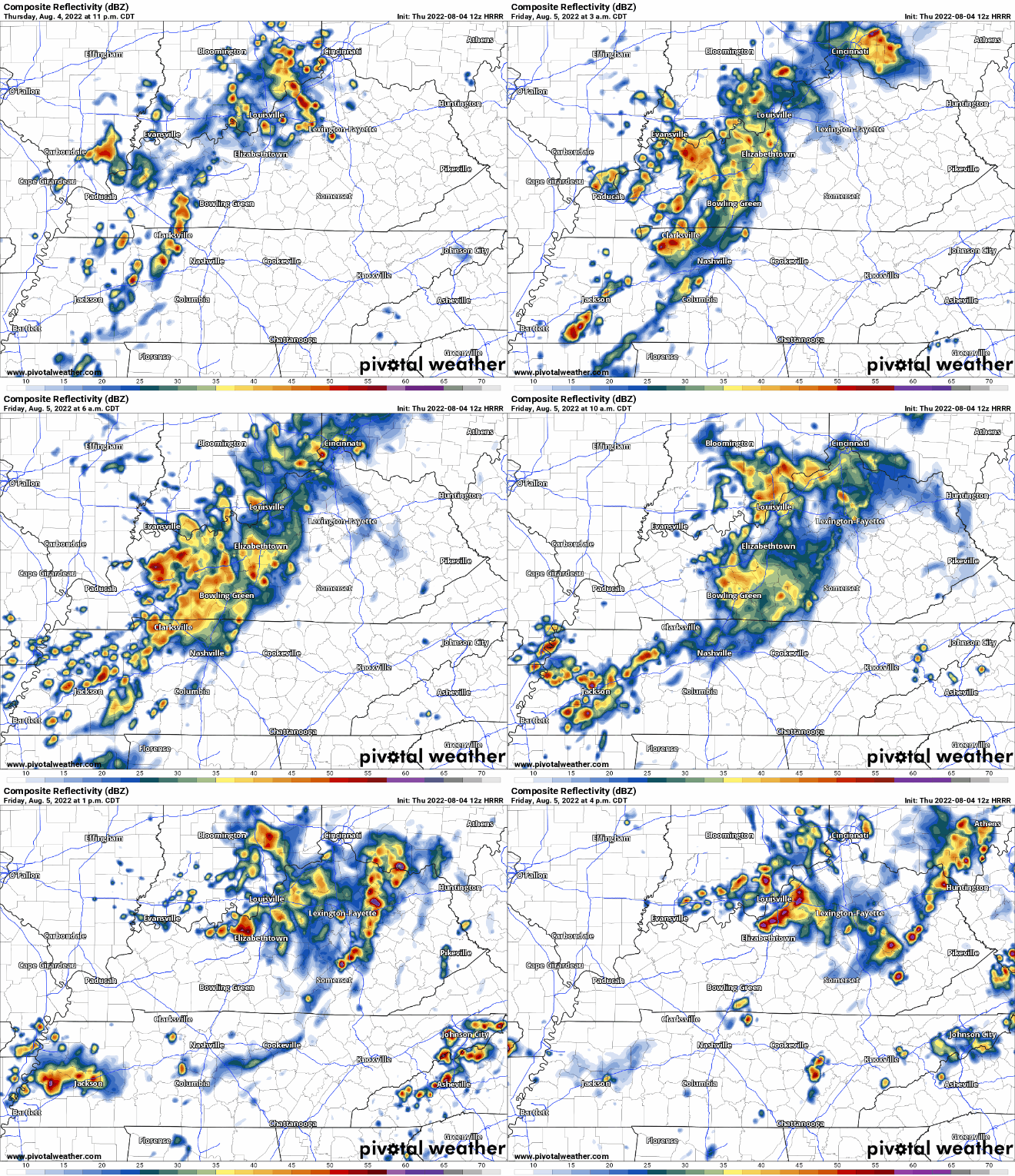
No widespread flooding or severe weather is expected, but the isolated storm with strong winds and enough rain to cause flash flooding in the typical spots is possible.
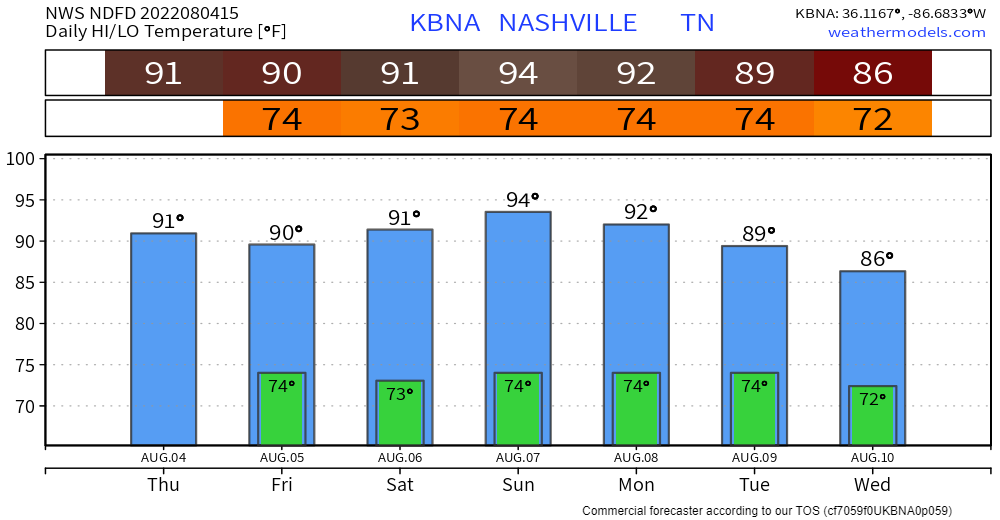
Rain chances + temps in the low 90’s and humid are forecast every day for at least the next 7 days. No specific ETA’s but most likely in the afternoon/evening. Probably won’t rain everyday, but it could. It could also rain no days. The wonders of the Wattery.
Quick References:
Weather changes constantly.
Follow @NashSevereWx on Twitter for any changes to this forecast.
We are 100% community supported. No ads. No subscription fees. Keep it free for everyone.
Categories: Forecast Blogs (Legacy)





You must be logged in to post a comment.