Current Radar
The correct pronunciation of the G in GIF is…
— NashSevereWx (@NashSevereWx) July 16, 2016
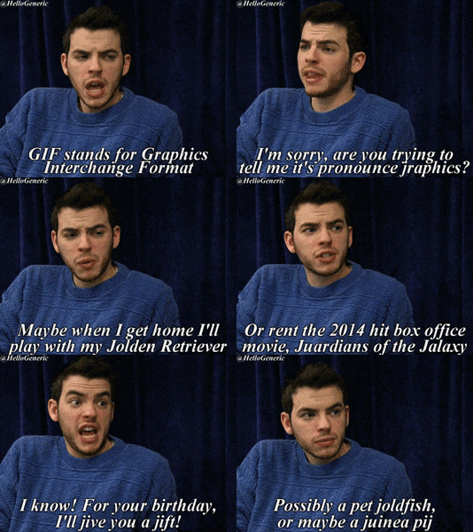
Looks like the “hard G” is winning. Gif as in “gift.” I was in the “soft G” camp, until I read this:
https://twitter.com/ctbrewer22/status/754653793049047040
I admit it. I was wrong.

I’m in the hard G camp now.
Some Weather
The most recent HRRR model predicts for us scattered daytime-heating rain/storms:

But the NAM4 model does not show rain. High pressure is in charge, giving areas south and east of us a better chance of rain. I’m not ready to totally dismiss the HRRR model, above, but I think we’ll stay almost completely dry.

It’ll be really hot, though, with humidity remaining high and clear skies letting temps rise into the low 90°s.
The Week Ahead
95° Monday, y’all. With dewpoints remaining oppressive (low 70°s, gross), can’t rule out a shower or two Monday or Tuesday, especially Tuesday when a weak front comes south from the Great Lakes. Neither day looks like a washout.
Yesterday, the models had a really hot end to the week:
Euro model is tossing up numbers like 98° Thu and 101° Fri and 102° Sat. GFS says 96°, 99°, 98° Thu-Fri-Sat. pic.twitter.com/6aictPUXT1
— NashSevereWx (@NashSevereWx) July 17, 2016
The latest run of the Euro gives us triple digits Thu-Fri-Sat. The GFS is similar, even goes to 103° Thu and 102° Sat.

That’s what those models say.
NWS-Nashville has the temps only hitting the mid-90°s during this stretch. High pressure should limit, or maybe eliminate, rain chances Wed-Fri.
Weekend looks typical for July — hot, humid, some afternoon storms scattered around Middle Tennessee. Probably would rather have the rain Saturday than 100°+.

This website supplements @NashSevereWx on Twitter, which you can find here.


 Log In To Facebook To Comment