
Current Temps and Radar
![]()

The #Snowdome lives:
Even with the additional snow overnight the airport only had 0.5″ of snow accumulate from this event.
Since BNA didn’t get 1″ of snow the #snowdome lives and the streak continues!
It’s Been This Long Since We Got 1″ of Snow Countup
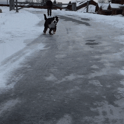
Not to rub it in but Starkville, Mississippi (where I attend college) had well over 1″ of snow yesterday… This is what life looks like without the snow dome.

&

For your amusement:
Today – Thawing & No Worry Flurries – High 36°
The little bit of snow last night has caused a few slick spots across Middle Tennessee.

Temps will crawl above freezing and help melt the remainder of the snow and ice off the roads.
After noon Nashville will have a slight chance for some no worry flurries.

At most a dusting is possible.
The overnight temperature will slip into the teens under a mostly cloudy sky.
Friday – Cold & Partly Sunny – Wake Up 18°, High 29°
Despite being partly sunny temps will stay below freezing throughout the day!

Overnight we will become mostly cloudy and temps will dip into the teens.
Saturday – Getting Warmer – Wake Up 19°, High 41°
We will be partly sunny and temps will get into the 40’s!

The temperature will stay above freezing overnight.
Extended:

Temps will increase over the weekend, but unfortunately so will our rain chances.
This website supplements @NashSevereWx on Twitter, which you can find here.
Categories: Forecast Blogs (Legacy)
You must be logged in to post a comment.