
Current Official Hourly Observation (taken at :53 on the hour)

Current Radar Loop
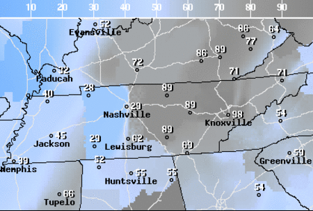
![]()
Temps & Rain Probabilities Next 36 Hours (auto-updating)
It’s National Flood Safety Awareness Week! Read up on flood insurance!

Wednesday Night – Decreasing Clouds
The clouds will finally push out of our area tonight into tomorrow morning.
Unfortunately, the lack of cloud cover will allow us to cool off quit a bit tonight…
A low in the mid 30s.
Thursday – Warm & Sunny – Morning Low 37 / Afternoon High 63
Spring arrives at 11:57 AM!

High pressure will temporarily move into our area, leaving us with a beautiful sunny day. However, your health may be in jeopardy. If so, use this complimentary and totally legit get-out-of-work letter:

The clouds should completely mix out by the early afternoon, with the possible exception of a few passing clouds.
The wind will be calm and out of the north northwest.
This trend will continue into Friday!
Friday – “Sunny and 75” – Morning Low 48 / Afternoon High 73
For you country music lovers: You don’t have to be taken any where to find “Sunny and 75” type weather…you can enjoy it here in Music City.
Protip: Make sure you soak up some rays because the clouds will begin to move in by Friday night.

Mmmmmm, vitamin D.
The cloud cover Friday night will insulate us and keep our low in the mid to upper 40s.
As a cold front approaches this weekend, our rain chances will increase. The weather models are all over the place on timing of rain. More on this tomorrow.
Official Extended NWS Forecast:

The First Week of Spring
Unpack your winter coats and umbrellas for next week because the rain and cold winter-like weather will make a return. Ugh.

Every global model predicts colder-than-normal air coming in next week.
Additional information can be found on Twitter @NashSevereWx.
Categories: Forecast Blogs (Legacy)
You must be logged in to post a comment.