


The 8 p.m. update from the Storm Prediction Center has arrived. They’ve put us within the following probabilities of “x” happening within 25 miles of you tonight:
Damaging Winds (58 mph or more): 30%. Notice we’re in the bullseye.
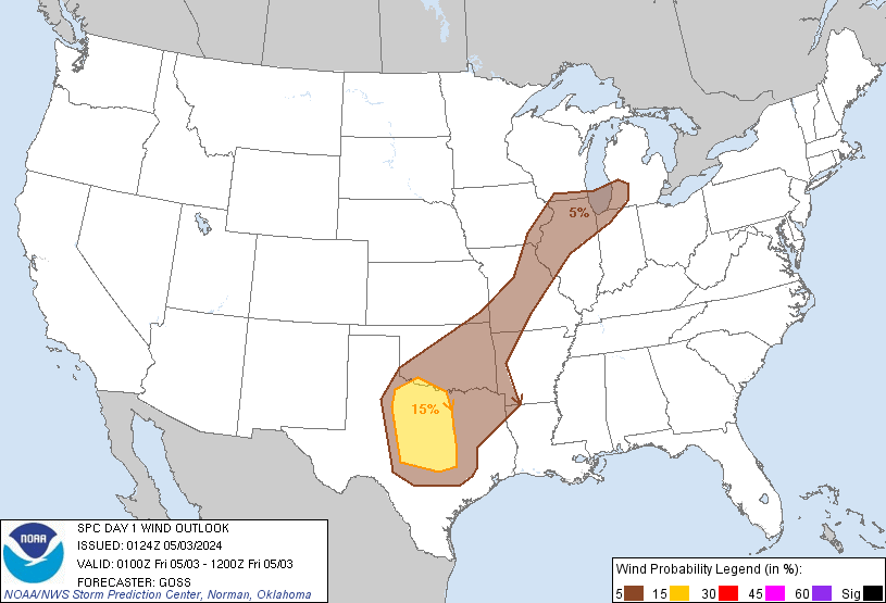
Large Hail (1″+): 15%

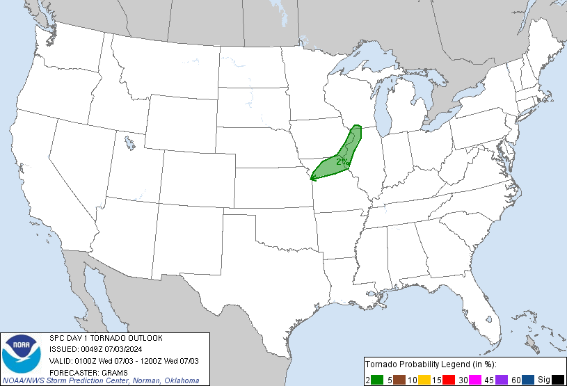
Tornado: 2%. Not a big concern, which will be of little consolation if one hits you.
Soooo, when? Later tonight. Earlier model runs were suggesting an 11 p.m. ETA. Late this afternoon the NWS pointed out the thunderstorm complex moving out of Missouri and S Illinois was “sluggish,” which, of course, it has been. Current model runs shove the storms in here around midnight. Behold the latest run of the HRRR, suggesting a midnight ETA:

Notice the red in the radar to our east and west. Red generally indicates more intense storms. Don’t read much into that. If current trends continue, this will be a lightning-intensive storm, with heavy downpours, and most importantly, the risk of severe weather as outlined above.
There is hope it’ll weaken as it continues to drop south, but for now, consider doing the following things:
- Have a wake-me-up app or weather radio if you’re going to bed. I’ve used StormWatch+ (which will wake you up or give you a heart attack, or both – an essential element in a wake-me-up app). There are several other good apps out there.
- Shelter your cars, helicopters, speedboats, ceramic gnomes, beloved children, etc., in case of hail. Example: Mrs. NashSevereWx called upon her Tetris skills this afternoon by rearranging some stuff so we could get both cars in the garage.
- Have a Tornado Warning plan. This must involve sheltering in the lowest level of your home, with as many walls between you and the outside as possible. Charge your phone. Know where you’re going in case of a Tornado Warning. Have shoes ready. Check batteries in your flashlight. If you’re in a mobile home, consider a safer structure.
- Don’t drive in this stuff. Blinding rain, heavy wind = not cool.
- Consult multiple severe weather sources, and heed all warnings. Our NWS does not issue warnings lightly.
This will be the last time we update the website tonight for severe weather. Additional information can be found on Twitter @NashSevereWx.
Tomorrow
High of 91. The heat index may top out at 97. Rain/Thunderstorms may form again, although at this time we are not expecting severe weather.
 Log In To Facebook To Comment