
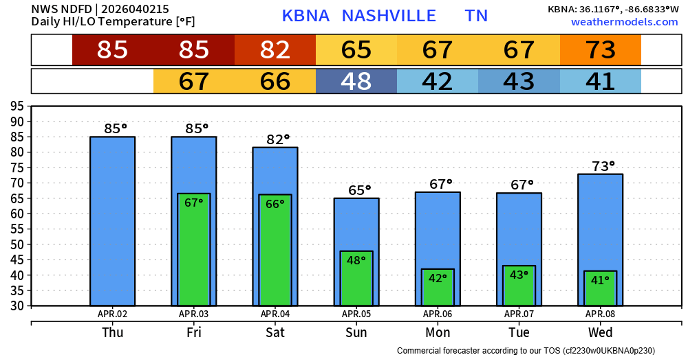
Dry and borderline hot today. Current forecast high temp is 85° – our daily record high is 87° set in 2012; we’ll see if we give it a run for its money.
A few showers will be possible Friday AM, but think most of us will be dry. Also, can’t rule out a quick shower/storm during the afternoon – but again, think most of us stay dry. High temperatures will yet again challenge the daily record high (86° set in 2012).
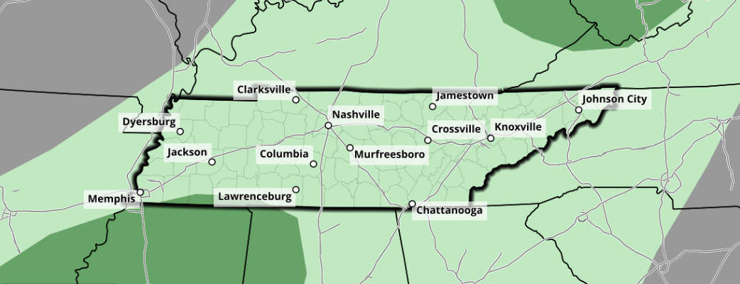
Our widespread rain chances arrive sometime Saturday PM as a cold front moves thru. Current best guess based on the models right now would be roughly Saturday evening – but would like to see the opinions of the high-res models to boost confidence in that.
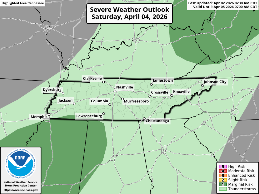
While some general thunderstorms are possible along the line, chances for any severe weather look slim to none right now. Models continue to suggest that the necessary ingredients just won’t come together. The Storm Prediction Center agrees and excludes us from any severe weather probabilities.
Models are also in good agreement that we’ll be drying out by sunrise on Sunday, leaving any Easter plans you may have dry (including sunrise services, although you’ll have to deal with wet grass). This could certainly change, and I’d like to see the high-res models take on things, but so far things are looking good.
For now, next week looks mostly dry with temperatures around average for the start of April.
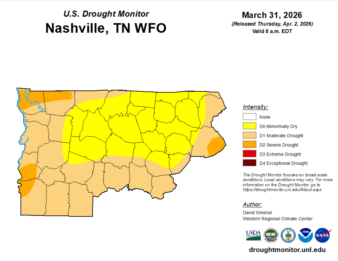
Speaking of dry, we have been recently. This upcoming rainfall (around 1″) will help, but it won’t completely resolve things. New Drought Monitor update shows both of our counties engulfed in the Abnormally Dry category.
Categories: Featured Blog