
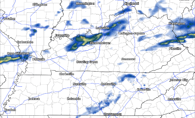
Cooler temperatures today as cloud cover hangs around for most of the day. Our rain chances will increase starting this afternoon as a cold front moves thru.
Not expecting any storms, just some showers. Rainfall totals will be very light, 0.2″ at most.
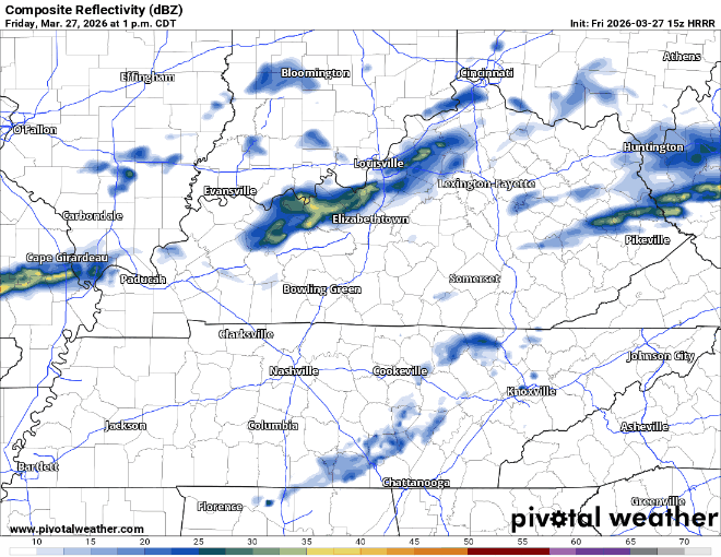
HRRR gives it a guess, but there’s not much to see:
Aforementioned cold front will bring cooler and drier conditions for us this weekend.
Saturday and Sunday mornings will both start off fairly chilly, but temperatures will rebound nicely – especially on Sunday.
Thanks to our recently dry weather, along with the low humidity and gusty winds, our fire danger will be a tad elevated this weekend – open burning is discouraged.

The beginning of next work week will be dry with high temperatures returning to the 80s. Next rain chances likely to arrive sometime middle of next week.
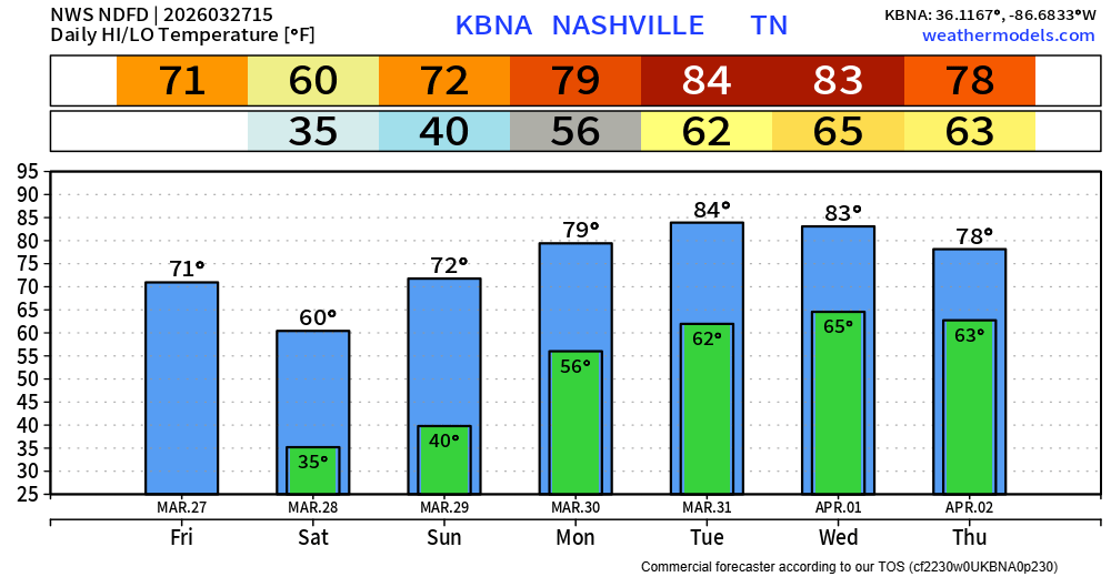
Long range models continue to suggest the beginning of April will consist of a more active pattern, with rain and storm chances. It’s too soon to start speculating on if we will be dealing with any strong to severe storms.
As always, we’ll keep an eye on things – but this is a good reminder that we are heading into our more active portion of the year severe weather wise (based on climatology). It’s as good of a time as any to review your severe weather plan! We have more info on that here: What To Do: Tornado Watch vs. Warning – Nashville Severe Weather
Categories: Featured Blog