
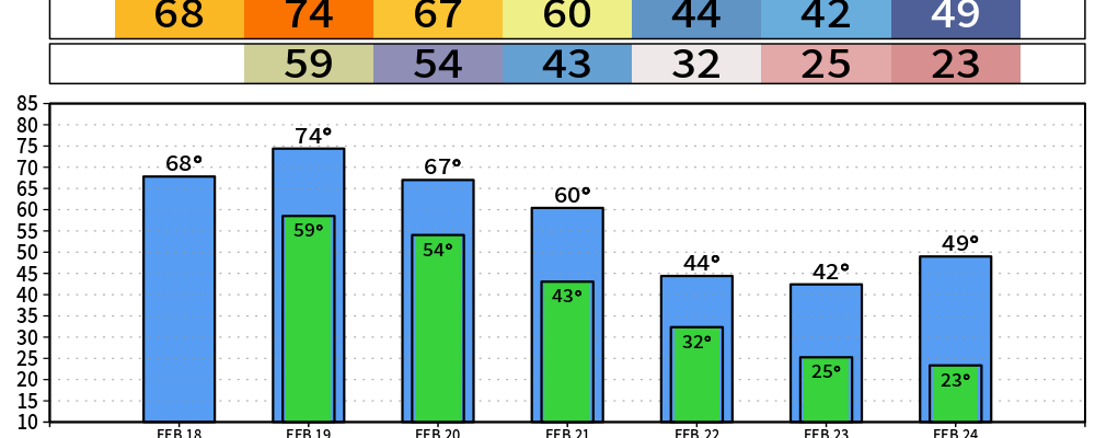
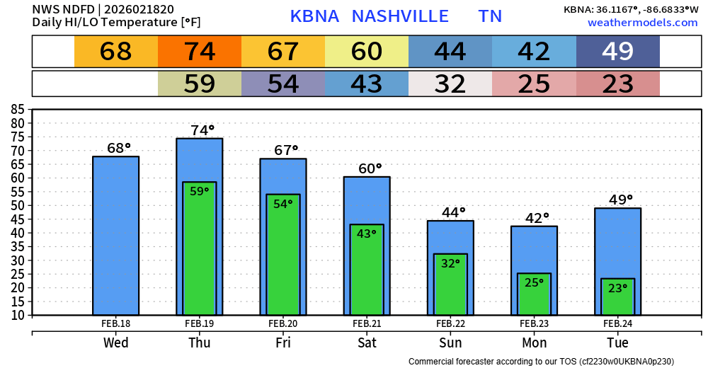
Cloud cover, along with the occasional mist, has kept us well below of our expected high temperature.
I think this may keep us a couple of degrees below our expected high on Thursday as well – regardless, still warm.
Our temperatures stay above-average thru Saturday. Then our cold front will knock us down below average early next week.
Showers are likely to creep into our area later this evening, continuing into the overnight hours. Just some quick showers, outside chance you hear a rumble of thunder or two – but no severe weather concerns. Things should clear out in time for the Thursday AM commute.
During the day on Thursday, we should be dry. If you hear any talk of severe weather potential, that is for areas to our north – we are not included.
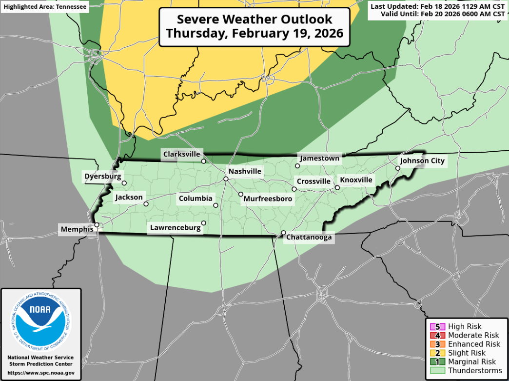
A line of showers/storms will push thru sometime Thursday night – likely sometime between 10p and midnight, +/- a couple hours. While severe weather is currently not expected, a strong storm with some gusty winds can’t be ruled out.
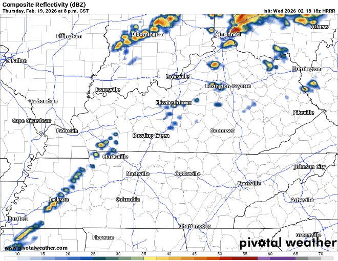
The HRRR model gives a guess:
This is all the latest information as of Wednesday afternoon. Things can certainly change as more model data comes in – stay connected for any updates!
Some additional rain chances will be possible Saturday evening/night, but these chances look low as of right now.
Looking at the long-range models, warmer temperatures return by the middle of next week after our cold start to week. Rain chances may also return, but that’s too far out to discuss with any degree of certainty.
We’re only a few days away from Severe Weather Awareness Day at Trevecca on Saturday. It’s always a great time. More information can be found here: Severe Weather Awareness Day 2026
Categories: Featured Blog