
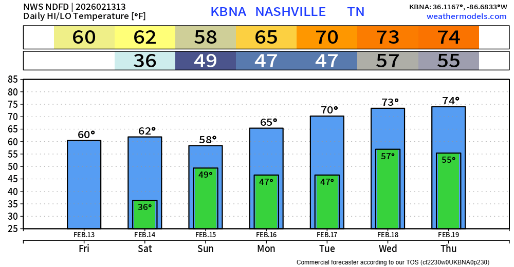
Nice Friday in store for us, dry with highs nearing 60°. Although we cool down a good bit this evening, so you’ll want a jacket for any plans later on in the day.
The first half of Saturday will be a near copy and paste of today; any Valentine’s Day plans look good thru lunchtime.
For any dinner or evening plans, you’ll want to consider rain gear.
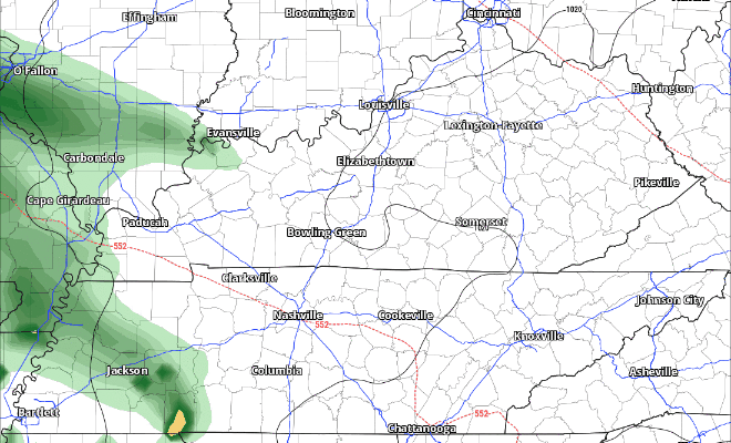
Models have been consistent on thinking that rain moves in sometime in the afternoon/evening timeframe, lasting on/off thru Sunday midday. Euro model gives a guess below:
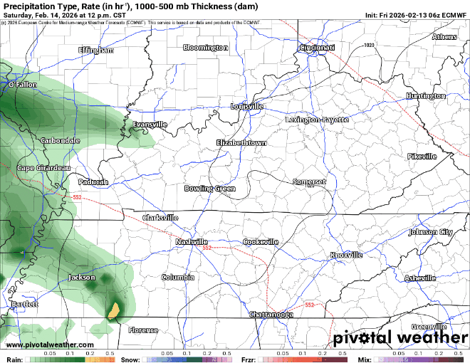
No severe weather concerns. We could see a few minor creek/stream rises, but no real flash flood concerns. Rainfall totals between 1 and 2″ expected. Probably won’t hear any thunder either.
We’ll start to dry out Sunday afternoon, with no additional rain chances expected thru at least middle of next week.
Highs temps will get well above average by the middle of next week, as we flirt with more daily record highs.
SWAD is just over a week away. We’ll be there, along with all the TV mets and our friends from NWS Nashville. It’s always a great time.
Categories: Featured Blog