
Some of our thinking has changed for this upcoming event, particularly regarding the round of storms arriving early Friday morning.
“Round One” – 3a thru 8a Friday Morning
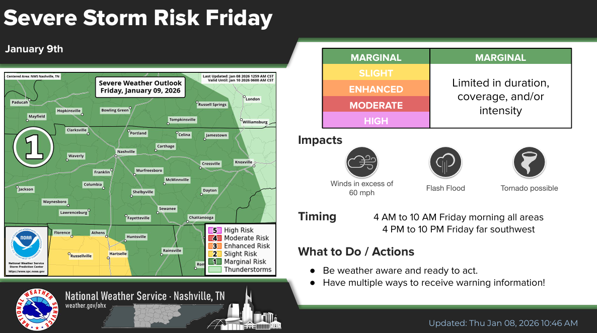
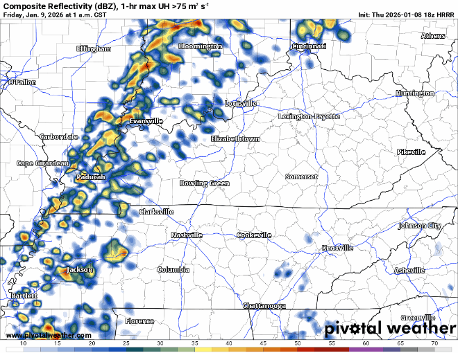
Now that the high-res models have come into range, it appears that this first round of storms may end up carrying a low-end severe threat.
Emphasis on low-end, but it’s not zero. The Storm Prediction Center has us outlooked with a 5% chance of damaging straight-line winds and a 2% chance of a tornado, both within 25 miles.
This will come in the form of a broken line of storms moving thru. Models currently don’t think we have much CAPE available (good news!), but models could be wrong, and this is something we’ll be watching.
With this threat occurring while most of us are still asleep, have a way to wake up in case there is a warning issued for you: NOAA Weather Radio, wake-me-up-app, Wireless Emergency Alerts on your phone. Do *not* rely on sirens to wake you up.
We’ll be watching every scan of the radar and will post any updates on our socials. And as always, if there is a warning for any portion of our two counties, we’ll go live on our YouTube channel.
We’ll have a nice lull in the action from mid-morning Friday thru the early evening.
“Round Two” – Late Friday Night thru Early Saturday Morning
This round largely looks like a heavy rain threat. Models have been very consistent on showing no storm fuel being available. Maybe a rumble of thunder, but I do think our severe threat is almost zero with this round.
Heavy rain looks like a good bet with this, maybe too much rain. This is reason why we are under a Flood Watch from Friday morning thru Saturday morning.
2-3″ of rain will be possible, with isolated higher amounts not out of the question.
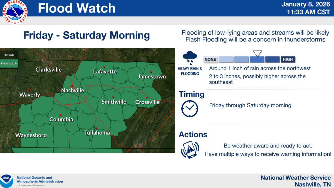
There is reason to believe that the highest rainfall totals will miss us to our southeast, which would be great news. However, models can always be wrong (they usually are), and this will be something we watch. Turn around, don’t drown!
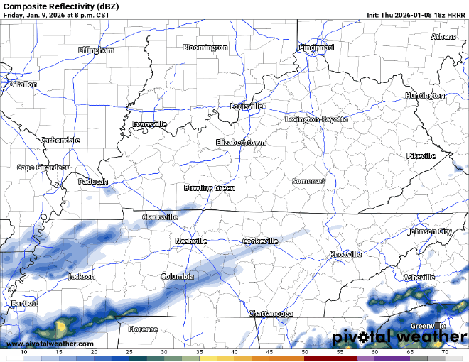
HRRR model gives a guess below, showing us clearing out by mid-morning on Saturday.
Things can always change. We’ll post updates as needed on all of our socials. Overall, this is a very low-end threat, with heavy rain and straight-line winds being the main threat.
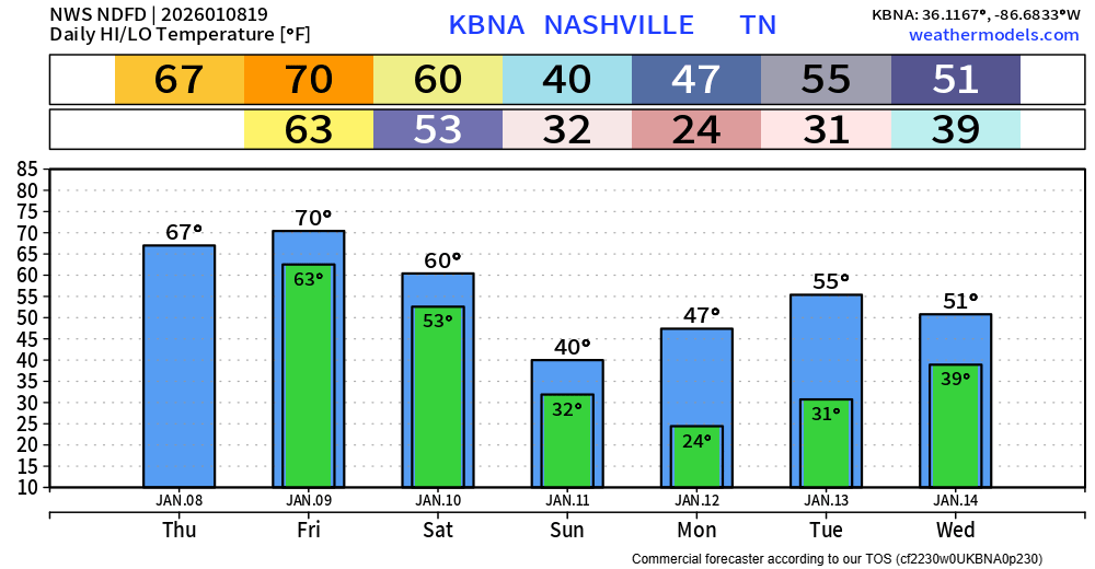
Temperatures come back down to reality, with seasonal temperatures expected starting early next week. No additional rain chances thru mid-next week.
Categories: Featured Blog