

Few quick + light showers possible thru lunchtime. Most of us will stay dry today though. Highs all the way in the mid 50s.
Thinking on Thursday’s very, very low chance of a strong storm or two remains unchanged.
SPC still has our two counties outlooked with a 5% chance of damaging straight-line winds occurring within 25 miles. We are not outlooked for tornadoes or hail.
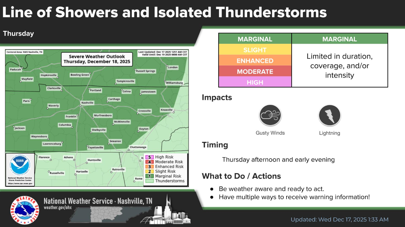
It’s also important to note that winds will be gusty before the front arrives. Non-thunderstorm wind gusts up to 35mph will be possible Thursday morning thru the afternoon. Secure any outdoor decorations or Santa might take off early.
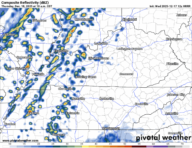
A cold front will push thru Thursday afternoon/evening. Most of us will just see some heavy rain, maybe a rumble of thunder from it – really no big deal. But there is the very low chance that a portion of the line may pack some gusty winds with it.
We’ll be watching and keeping y’all updated – but really just think this will just be some briefly heavy rain, maybe some gusty winds for us.
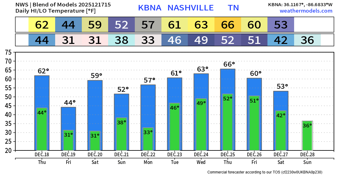
That cold front will bring us some decent rain but will also knock our temps down a good bit for Friday – with highs only reaching the low to mid 40s.
We quickly rebound with high temps back in the 50s for this weekend. Rain chances continue to come down for Saturday and Sunday – so fingers crossed we can get away with a dry weekend after all.
Temperatures leading up to and on Christmas look to be well above average. Santa may have to lose the big red coat. Still too early to guess on any rain chances or not during this time.
Categories: Featured Blog