
At the time of writing (4:30p), we are currently watching a line of storms that’s in KY and slowly moving south. It’s unknown if this will make it all the way here – but it’s something worth watching. Any severe threat is very low, and the main concern will be the potential for isolated flooding (especially those that saw heavy rain yesterday), frequent lightning and gusty winds.
We’ll be watching and sending out updates as needed on all of our socials.
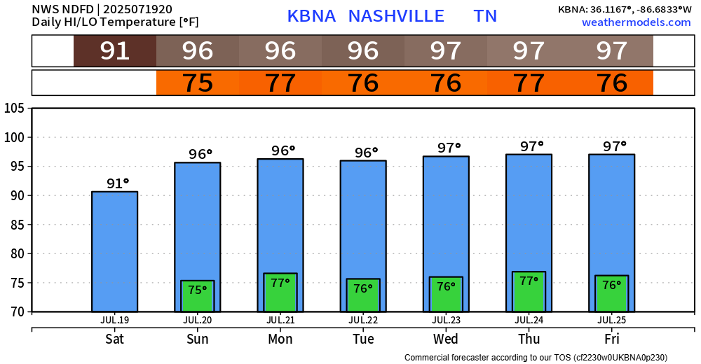
Besides the storms, it’s hot. And these temps aren’t going anywhere, anytime soon.
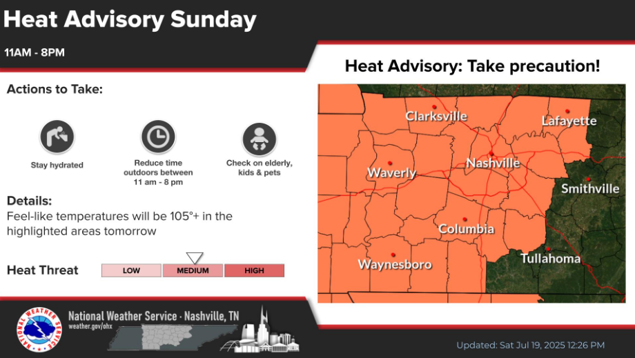
NWS Nashville went ahead and issued a Heat Advisory for us on Sunday, from 11a to 8p. Heat index values will peak around 105°. Please try and limit your time outdoors during this time. If you must be outside, take frequent breaks and stay hydrated.
Similar heat and humidity combos will stick around for the majority of next week. We’ll probably have a few more Heat Advisories next week to deal with.
Our daily Wattery chances remain in the forecast, although for most of next week, chances will be fairly low as coverage of showers and storms will remain fairly isolated.
Best shot at seeing a winning ticket will be sometime during the afternoon and evening – no current severe concerns. But any storm could contain heavy rain, lightning and some gusty winds.
This pattern won’t last forever – but it’s got a good grip on us for now.

Categories: Featured Blog