

We are currently watching an MCS move safely to our south, but we’re likely to still see some rain – heavy at times, with some lightning.
We’ll be posting updates as needed throughout the day, you can also check the radar anytime on our website, fo free: Radar | Nashville Severe Weather
Think we see some clearing closer to dinner time. Once this rain passes thru, it looks like that will be it for us for the remainder of today. Something to watch – good news for evening plans, bad news for afternoon plans.
Models continue to trend in the right direction for Sunday.
It looks like most of the day will be dry – we could see an isolated shower during the day, but this looks unlikely ATM.
Monday:
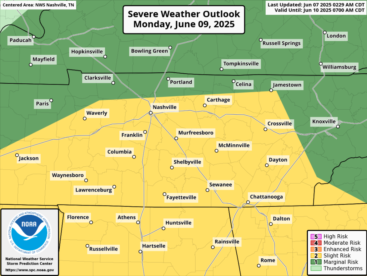
15% probabilities for severe weather within 25 miles have been introduced for us on Monday.
“We have been placed in a slight risk for Monday for another weakening MCS/damaging wind threat. Models are struggling to handle the development of the MCS as it moves across the south.” – NWS Nashville
This looks similar to our setup from Friday, with a line of storms being possible, most likely in the afternoon/evening, with damaging straight-line winds being the main threat, and a much lesser threat for hail and/or a tornado.
Still several days away, so things will likely change. Stay connected for updates!
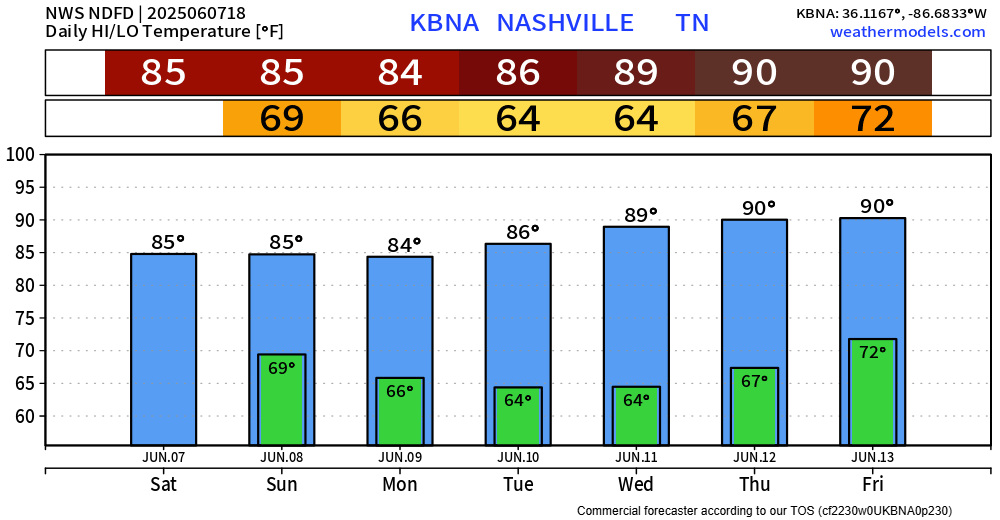
Tuesday and Wednesday look dry before rain chances pick back up towards the end of next week.
Temperatures stay borderline hot, muggy dewpoints in the upper 60s won’t help our case either.
Categories: Featured Blog