


As we get a break from the rain and storms, we’ll be watching for any activity upstream of us to our west. There’s relatively low confidence in additional showers/storms – it all depends on if our atmosphere is able to regroup.
FWIW, the HRRR model thinks we do we a few additional stray showers/storms. This doesn’t look like a total washout, but something you may need to ride out indoors. If thunder roars, go indoors.
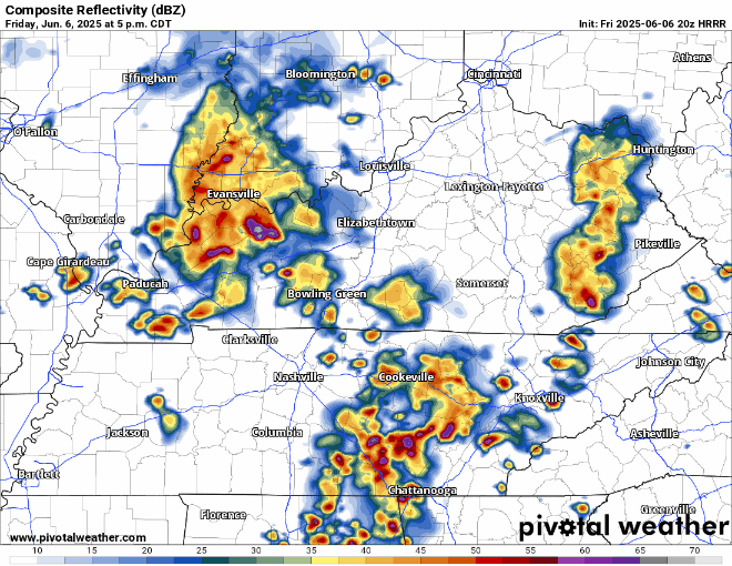
We’ll be watching this and sending out updates as needed on all of our socials. While our severe threat is pretty low, it does still exist. Damaging straight-line winds remain our main threat, with lower probabilities for hail and/or a tornado.
Saturday:
Good news, Saturday has had some positive trends.
Yesterday, most models thought another line of storms would move into the area sometime Saturday afternoon/evening.
Today, the majority of models take this line of storms mostly to the south of us.
Models can be, and are often wrong – but this is a good sign.
We are still outlooked with severe probabilities from the Storm Prediction, with higher probs denoted to our S.
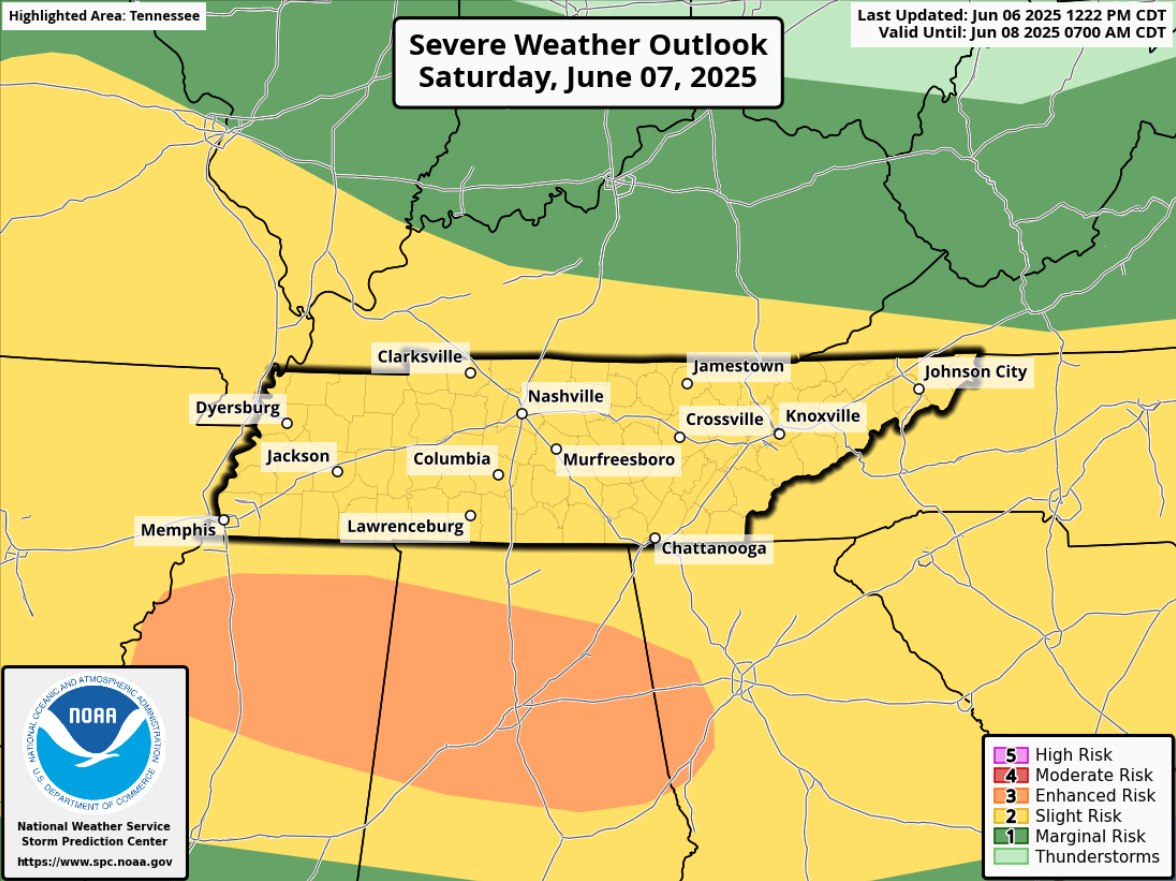
We have the following probabilities of ‘x’ within 25 miles:
- 15% chance of damaging straight-line winds
- 5% chance of hail
- 2% chance of a tornado
I’ll show the HRRR model, but most other models also show some sort of version of this scenario. Again, a good sign, but far from any promises.
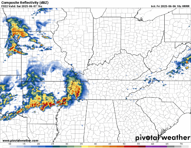
This is something to watch, and we’ll be watching any model trends as well as observations as we get closer.
For those going to CMA Fest, and any other outdoor plans – stay connected. Things can change. We’ll keep you posted with any updates.
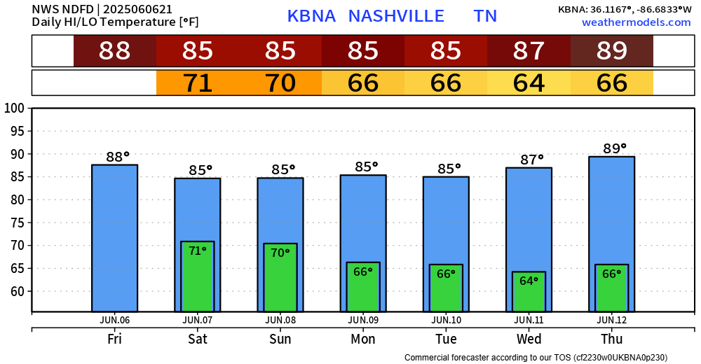
Low rain chances stick around for the first half of Sunday, but models think most of Sunday turns out nice and dry. Still a few days away, so things could change, but fingers crossed this holds true.
Medium rain/storm chances for Monday afternoon/evening before a couple of dry days.
Temperatures remain steady.
 Log In To Facebook To Comment