


Update as of 3p: The SPC did decide to include us on the very edge of a Tornado Watch until 10p. The forecast holds true. The highest severe threat is well to our west and any threat of severe weather/tornado is quite low – but not impossible. Stay weather aware!

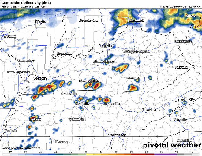
While our chance today is very low compared to the past couple of days, there is still an outside chance we could see some severe weather, but the higher chances are to our west.
The main threat today would be damaging straight-line winds and hail, but a tornado cannot be ruled out.
The threat today will be very conditional, meaning you may not even see any rain. But in some of the stronger storms, severe weather is possible.
HRRR model (below) thinks majority of the activity stays to our west. We could all use a break.
We’ll be watching the radar and sending updates on all of our socials as needed. Think most of your dinner plans will be OK and dry tonight. You can check the radar anytime on our website here: Radar | Nashville Severe Weather
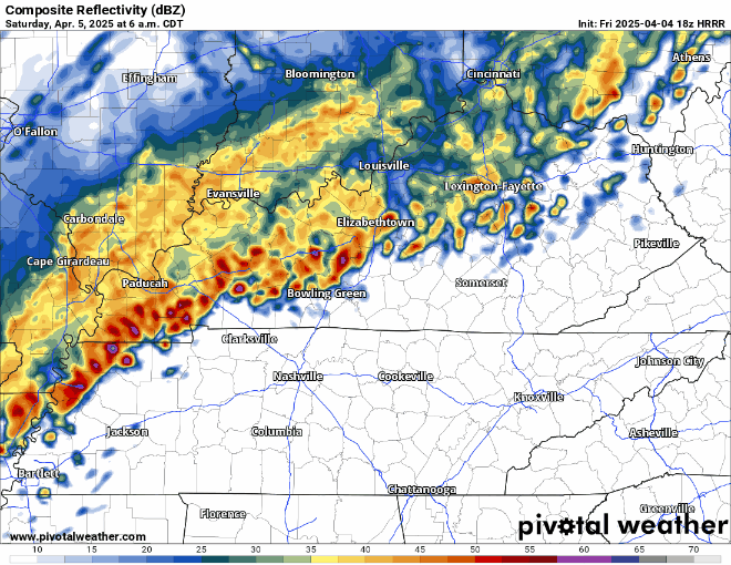
Saturday:
Saturday morning to mid-morning we may see some showers/storms but not expecting these to be severe. This would, however, further enhance our flooding threat.
There is some disagreement amongst models on how far these storms get. Latest HRRR model (shown) below thinks they get to Davidson Co., but not WillCo. This could be off, both our counties may see storms, or neither. Something to watch.
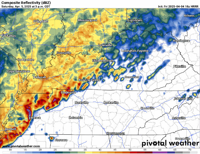
Saturday afternoon/evening is when we will deal with our chance for severe weather. The line of showers/storms will lift north and allow our atmosphere to destabilize.
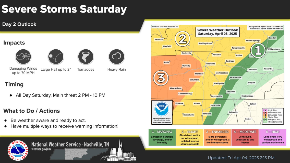
Our two counties are outlooked with the following probabilities within 25 miles:
- 15-30% chance of damaging straight-line winds (up to 70 mph)
- 15% chance of large hail (up to 2″)
- 2 – 5% chance of a tornado
A line of storms will arrive most likely between 4 – 7p, but timing is subject to change.
Damaging straight-line winds will be the biggest concern with this.
Regardless of any severe weather, heavy rain will be a major concern with this. Soils are already saturated, and most creeks/rivers are already running high. Any additional rain will seriously exacerbate the flooding threat. If you live in a low-lying or flood-prone area, you need to be ready to take action.
2 to 4 inches of rain on top of what has already fallen will be possible.
Please take the flooding threat seriously, especially locations that have already seen heavy rain.
Heavy rain will continue thru Sunday morning. We should dry out at some point Sunday, probably closer to the evening.
We finally get a break from any severe weather chances starting Sunday.
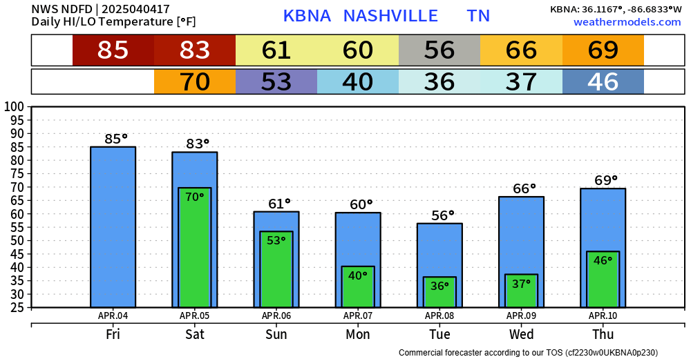
Next week looks dry and cool thru Wednesday, with warmer temps and rain chances returning Thursday.
 Log In To Facebook To Comment