
Outdoor burning continues to be discouraged, with gusty winds and low relative humidity values expected thru this evening.
Skipping ahead to Tuesday.
Not much has changed. We continue to be outlooked with a 15% chance of severe weather within 25 miles.
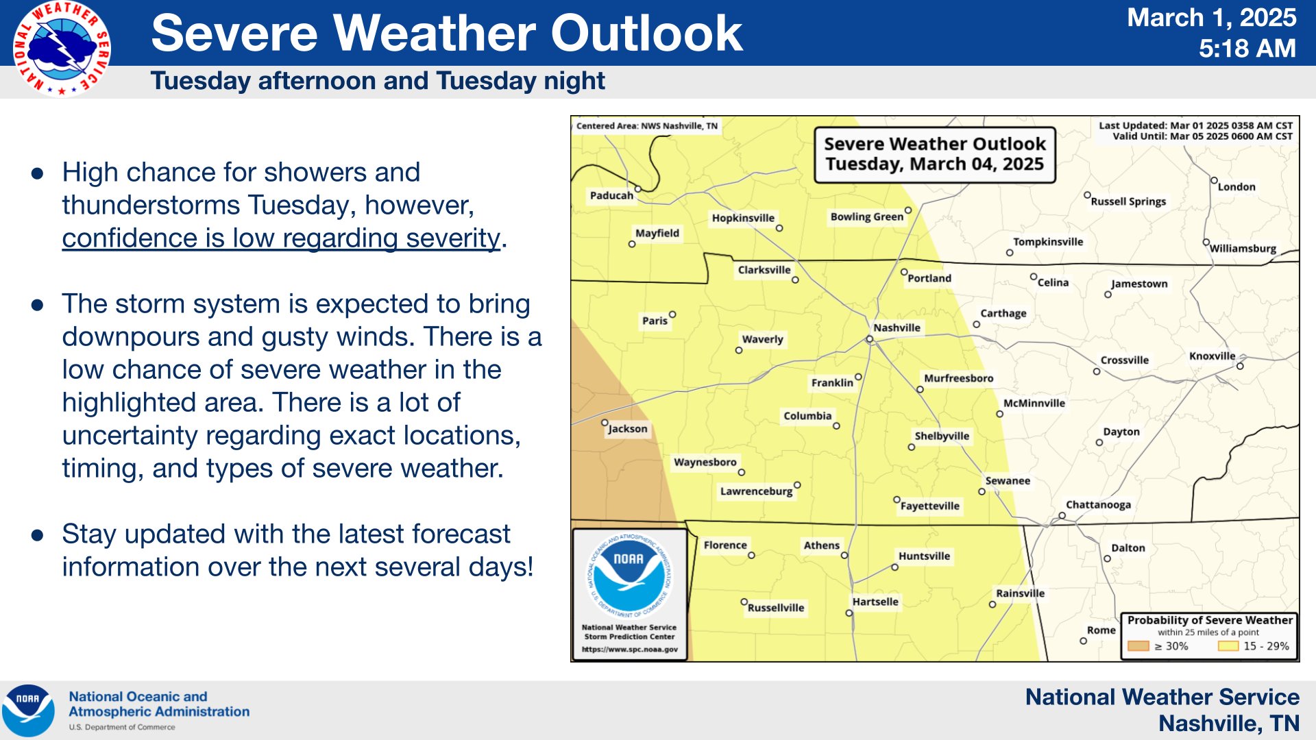
Confidence in intensity remains low. While showers and storms are likely Tuesday PM, the severity is unknown.
“The parameters that continue to limit confidence in any potential severe weather is the moisture and instability. Dewpoints throughout the day on Tuesday are expected to remain in the 40s ahead of a line of showers and storms. With this unfavorable moisture along with unfavorable lapse rates around 6 C/km, this results in very little available instability at around 150 J/kg or less. All of this to say that our severe weather threat remains low at this time with rain and gusty winds the primary threat with any thunderstorms Tuesday into Tuesday night. Things can certainly change so be sure to stay tuned for forecast updates.” – from the heroes at NWS Nashville
Moisture and storm fuel (instability) continue to look lackluster, and not very supportive of severe weather. This could change, and will need to be watched over the next several days!
Timing wise, Tuesday evening/night looks like the most likely timeframe at this point. This also – could change!
At the minimum, we’ll see some heavy rain and maybe some gusty winds. Severe weather (all hazards possible) also cannot be ruled out.
Stay connected for updates!
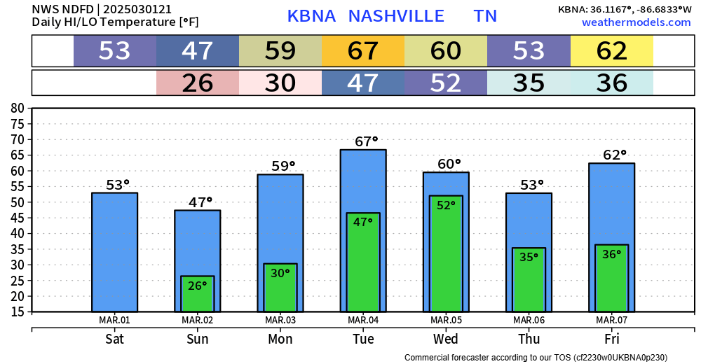
Temperatures remain seasonal-ish besides Tuesday.
Categories: Featured Blog