


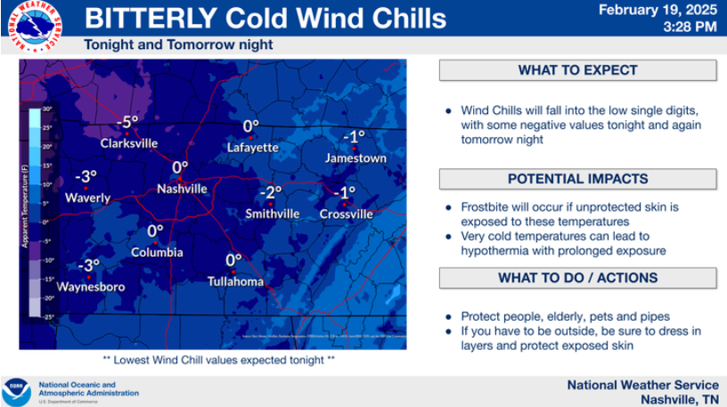
Temps will dive into the low teens tonight, combined with wind gusts from 15-20 mph, wind chill values will get near 0° tonight. This is the reason for our Cold Weather Advisory from midnight tonight to 10a Thursday.
Hypothermia and frostbite can set in quickly with temperatures this low. Be sure to bundle up in layers as you head out the door in the morning!
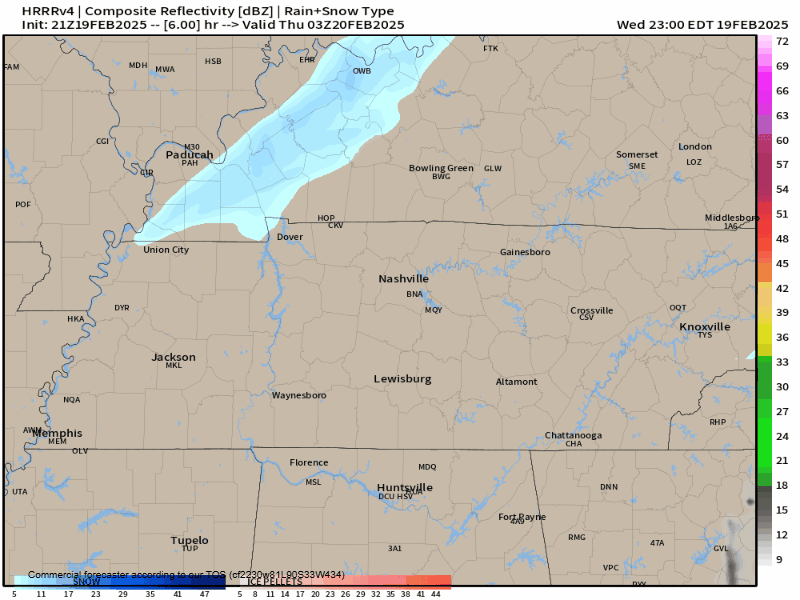
We could possibly see some flurries tonight – but most of the activity should miss us to our north. Even if we do see some flurries, we’d only see up to maybeee a dusting. Regardless, Davidson Co. and Williamson Co. schools are already closed Thursday, so kiddos don’t have to do a snow dance and rely on it.
HRRR model below shows the close miss:
We unfortunately have to do the whole Cold Weather Advisory thing all over again Thursday night into Friday morning.
Wind chills will yet again get close to 0°.
Multiple layers will be needed as you head out the door to work/school(?) Friday morning.
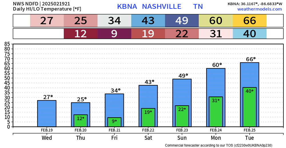
We’ll (maybe) briefly get above freezing Friday afternoon. Our real warm up begins this weekend, and we’ll return to the 60s by early next week.
No precip chances (besides maybe the flurries tonight) in the foreseeable future.
 Log In To Facebook To Comment