
Not much has changed from yesterday. Here’s the current thinking:
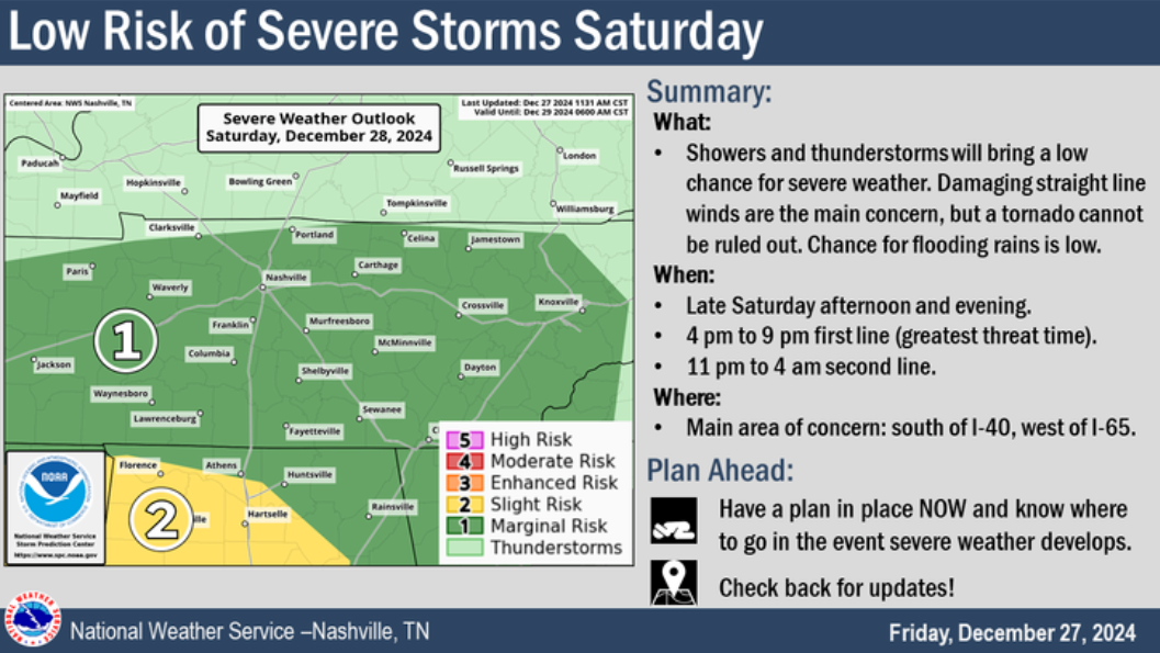
For Saturday, we are still outlooked with:
– a 5% chance of damaging straight-line winds and/or severe hail within 25 miles
– a 5% chance of flash flooding within 25 miles
– a 2% chance of a tornado within 25 miles
Timing (Subject To Change):
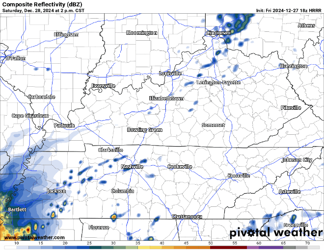
The latest HRRR model shows storms arriving Saturday afternoon (vague phrasing on purpose), continuing into the evening, maybe a slight break – with another line of heavy rain (maybe storms) arriving into the late-night hours of Saturday/wee hours of Sunday morning.
At this time, it seems like our low-end severe threat would lie in the afternoon to evening timeframe. This is when ingredients “best” align, although right now it seems like all the ingredients hardly align – thus the low probs of any severe weather.
Models currently show the majority of the instability (storm fuel) being present in the afternoon, while the majority of the wind energy/shear holding off until late evening, missing each other.
This of course, could change. But for now, signs are pointing to a heavy rain event, with maybe a strong to severe storm, but most of the nasty stuff staying to our south.
As always, we’ll keep you posted on all of our socials (X/Insta/Threads/BlueSky) – and we’ll have another blog out tomorrow.
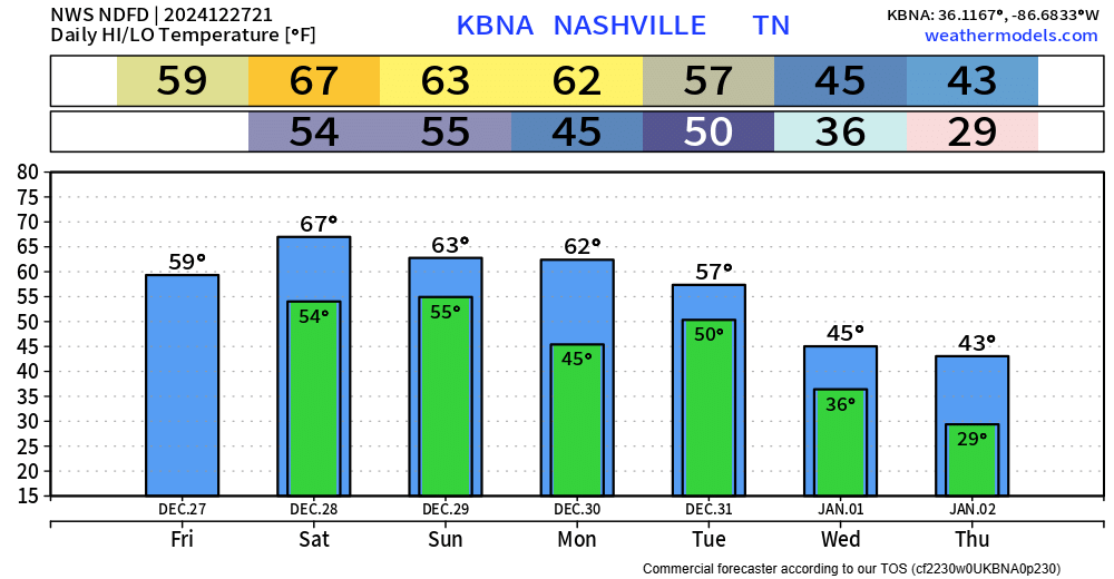
Regardless of any strong storms, rainfall totals will likely end up in the 1 – 3″ range. Any outdoor plans in the afternoon/evening likely to be rained out.
Maybe a few leftover showers on Sunday, but we’ll be clearing out slowly but surely.
Some showers possible NYE morning but should be gone by the afternoon. Celebrations look dry, but temps will be falling into the 30/40s.
High temps nearly 20° above average on Saturday, staying mild thru Monday. Colder air comes in along with the new year.
Categories: Featured Blog