
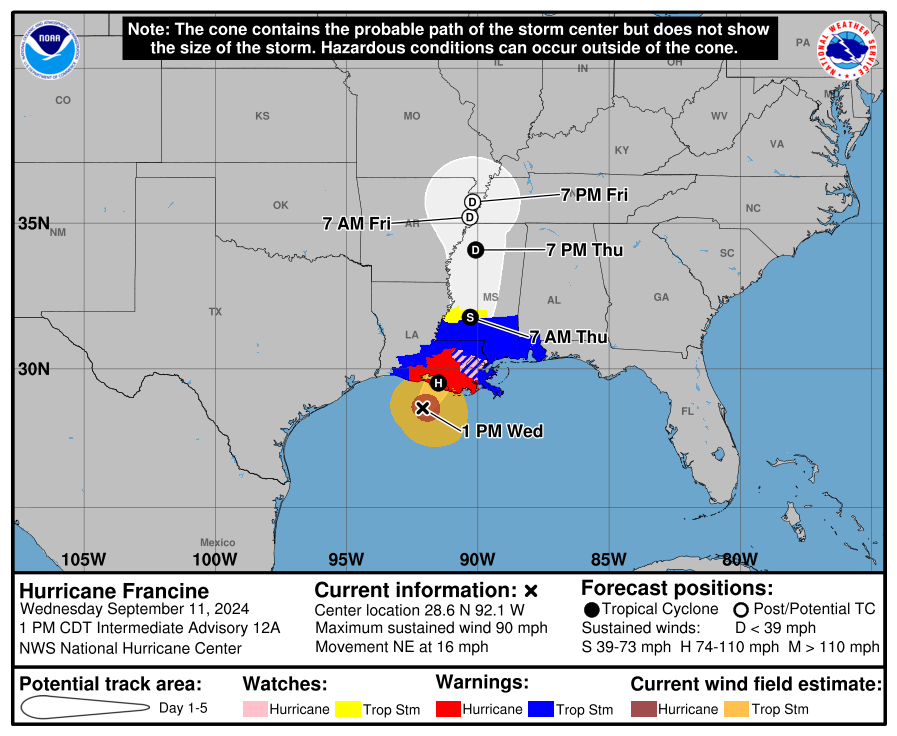

Francine has made landfall in Louisiana, and is beginning to make its’ way up north and will bring impacts to us starting Thursday morning.
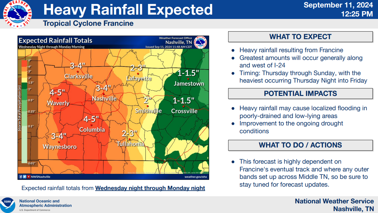
Expected rainfall totals thru Monday night look to be 3 to 5 inches.
The highest amounts will occur under the bands of rain that “train” over the same area – where the localized flash flooding possibility will be highest. Where this occurs is anyone’s guess.
Here is the latest thinking from the HRRR model:
Rain begins: Thursday mid-morning
Soaking rain: Thursday afternoon + evening
Scattered heavy showers (?): Thursday night thru at least Friday afternoon (model cuts off at 3p)
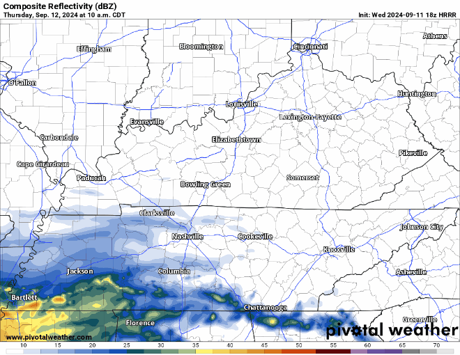
Where this band of heavier rain sets up on Friday will really be the deciding factor on if we deal with some flash flooding potential and a low-end threat of a brief, weak tornado. This particular run of the HRRR thinks it will set up very close to us, but this will likely change from run-to-run – and could miss us all together.
No need to panic, but certainly stay connected for any updates. We’ll be covering it X/IG throughout the event. Have an indoor backup plan if you happen to have any outdoor plans.
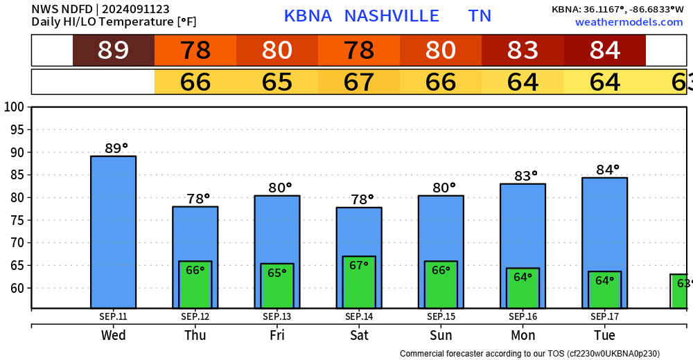
Lower rain chances will hang around Saturday thru Monday as tropical moisture sticks around.
Categories: Featured Blog